
Events
Darling Geomatics Tech Expo 2026
Join land surveyors in Tucson Oct 28–29, 2026 for DGTE — 3D scanning, GNSS, and AI sessions. Registration Fee: $295.
October 28–29, 2026 · UA Tech Park Tech Event Center, Tucson · Registration Fee: $295
Thank you to our sponsors
Thank you to the sponsors who helped make the Darling Geomatics Tech Expo possible. Your support brings surveyors, students, educators, and technology leaders together to share knowledge, explore new tools, and strengthen our profession.
Premier sponsor
Desert Toyota of Tucson
We are proud to recognize Desert Toyota of Tucson as our Premier Sponsor. Thank you for investing in the people and connections that move our industry forward.
Our sponsors



Venue recognition
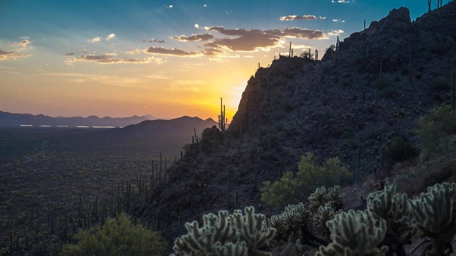
Thank you to University of Arizona Tech Park and Tech Parks Arizona for providing the setting for our expo.
Join land surveyors, geomatics professionals, engineers, technology providers, students and industry leaders for a full day of expert-led education, emerging technology and meaningful professional connections.
DGTE 2026 brings together traditional surveying knowledge and the technologies transforming the profession—including boundary surveying, artificial intelligence, UAVs, SLAM, laser scanning, GNSS, mining applications and geodesy.
- Welcome event
- Wednesday, October 28, 6:00 PM · Toro Bravo Restaurant, Vail, AZ
- Tech Expo
- Thursday, October 29, 7:00 AM–5:30 PM
- Venue
- University of Arizona Tech Park, Tech Event Center, 9030 S. Rita Road, Suite 302, Tucson, AZ 85747
- Registration fee
- $295
Your registration includes
- A full day of expert-led presentations
- Access to technology exhibitors and demonstrations
- Coffee and breakfast
- Catered lunch
- Afternoon refreshments
- Networking with surveyors, engineers, educators and industry leaders
- Admission to the optional welcome event on Wednesday evening
Speakers
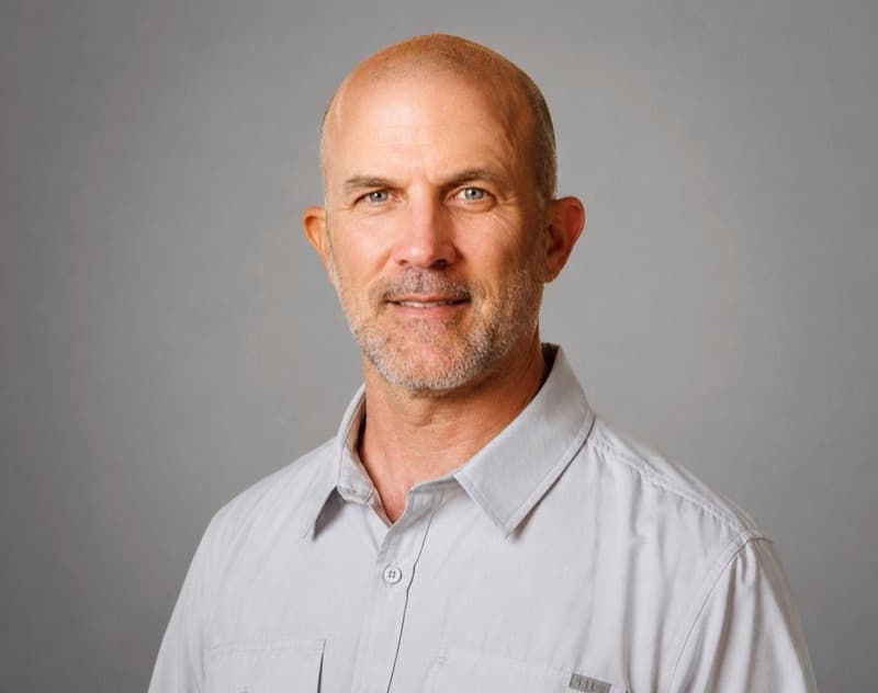
Davey Edwards, PhD, PLS, LSLS, CFedS
Master of Ceremonies · Director of Boundaries and Geospatial Affairs, Dunaway
Dr. Davey Edwards is the Director of Boundaries and Geospatial Affairs for Dunaway in Fort Worth, Texas. He is a licensed Professional Land Surveyor in Texas, Oklahoma and the U.S. Virgin Islands, a Texas Licensed State Land Surveyor, and a U.S. Certified Federal Land Surveyor.
Read full bioShow less
Dr. Edwards holds a bachelor’s degree from Texas A&M University, a master’s degree in Geospatial Surveying Engineering from Texas A&M University, and a doctorate in Geosciences from the University of Texas, where his research focused on land administration systems and riparian boundary morphology.
An experienced educator and advocate for professional development, Dr. Edwards teaches continuing education courses and has served as a professor at Texas A&M University – Corpus Christi, New Mexico State University, Weatherford College, and is now an adjunct professor at Lone Star College – Montgomery. He is the former United States Delegate to the International Federation of Surveyors (FIG) Commission 2 on Professional Education. He is also a program evaluator for ABET in EAC, ETAC, and ANSAC.
Dr. Edwards has recently been appointed by the United States Secretary of Interior to the National Geospatial Advisory Committee of the Federal Geographic Data Committee. He is a past president of the National Society of Professional Surveyors and the Texas Society of Professional Surveyors. He currently serves as a Survey Emeritus member of the Texas Board of Professional Engineers and Land Surveyors and advises its Surveying Advisory Committee. He continues to serve on various committees with the National Council of Examiners for Engineering and Surveying as a delegate from the Texas Board. His previous leadership includes service on the Texas Board of Architectural Examiners, the Texas Board of Professional Land Surveying, and as Director of the Texas Spatial Reference Center, as well as chair of the Planning and Zoning Commission for the City of Decatur.
With extensive field experience across Texas and Oklahoma, Dr. Edwards specializes in original land grant surveys, riparian boundary surveys, and boundary issue resolution. His expertise has been sought by state and federal officials, and he frequently provides expert consultation on complex boundary and jurisdictional matters.

Amanda Manos, PLS
President and CEO, Darling Geomatics
Amanda Manos is a Professional Land Surveyor, business owner, educator, and geospatial executive with nearly 30 years of experience. Her career has taken her from field surveying in Alaska to leading Darling Geomatics, a Tucson-based firm specializing in land surveying, reality capture, 3D scanning, drone mapping, and geospatial solutions for complex environments.
Read full bioShow less
As President & CEO, Amanda combines hands-on surveying experience with a practical vision for emerging technology. She leads with the belief that innovation should make work safer, improve decision-making, and deliver meaningful value to clients—all grounded in the fundamentals of sound surveying.
Her background includes leadership positions with regional and national geospatial firms, federal service with the U.S. Army Corps of Engineers and Bureau of Land Management, and ownership of a DBE-certified surveying firm in New Mexico. Her experience spans boundary and federal lands surveys, construction, geodetic control, hydrographic surveying, reality capture, and large multidisciplinary programs. She holds professional surveying licenses in Arizona, New Mexico, Alaska, Utah, Oregon, and Nevada.
A committed advocate for the profession, Amanda served as President of the National Society of Professional Surveyors in 2022 and the New Mexico Professional Surveyors in 2014. She has represented the U.S. surveying profession internationally through FIG and was recognized among xyHt’s Top 40 Under 40 Remarkable Geospatial Professionals in 2016. She has taught geomatics at New Mexico State University and continues to invest in the next generation of surveyors through mentoring emerging professionals.
Amanda holds a B.S. in Surveying Engineering from New Mexico State University, an A.A.S. in Geomatics from the University of Alaska Anchorage, and a certificate in Executive Women in Leadership from Cornell University.
Her focus is on what comes next—for Darling Geomatics, its clients, and the surveying profession.
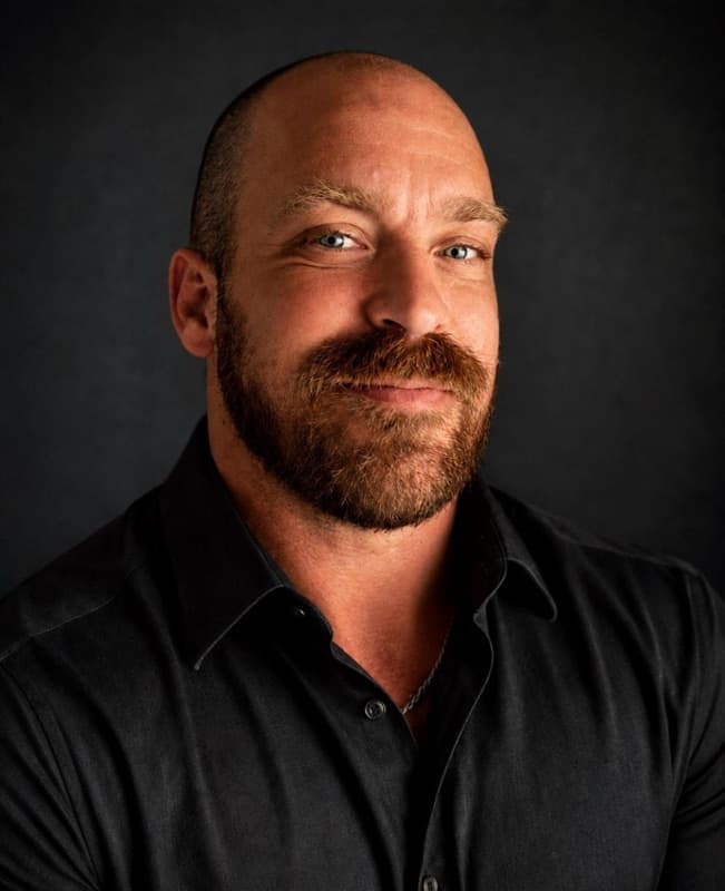
Robert J. Mooers, RLS
Director of Remote Sensing, Diamondback Land Surveying
Rob is the Director of Remote Sensing at Diamondback Land Surveying, with nearly 25 years of experience figuring out better ways to get survey work done. He specializes in reality capture technologies including terrestrial laser scanning, UAVs, SLAM, and 3D data processing—and, more importantly, figuring out when and how to actually use them.
Read full bioShow less
Rob regularly trains and presents to survey professionals on turning enormous amounts of 3D data into accurate, useful deliverables. His sessions skip the sales pitch and focus on what actually works, what doesn’t, and the lessons learned along the way.

Ash Black
Director of AI and Industry, University of Arizona Institute for Computation and Data-Enabled Insight
Ash is a creative technologist and educator with a long track record of innovation from the early days of the web to the AI and XR era of today. A specialist in student engagement, he is passionate about experiential learning and champions a hands-on approach to mastering technology. At the University of Arizona he leads AI & Industry strategies and is working to build internships, jobs, and economic expansion across Arizona.
Read full bioShow less
Specializations include Databases, XR, AI, Web Development, and Experiential Learning. His platforms and skills include Unreal Engine 5, SQL Server, Discord, OBS, OpenAI, .NET, Visual Studio, HTML5/CSS, JavaScript, C#, Google Maps/Earth, XR, and Reaper.
The Institute for Computation & Data-Enabled Insight (ICDI) at the University of Arizona is an outreach-oriented institute seated within the Office for Research, Innovation, and Impact, connecting university research with economic growth initiatives, workforce development, and broad educational goals throughout Arizona.
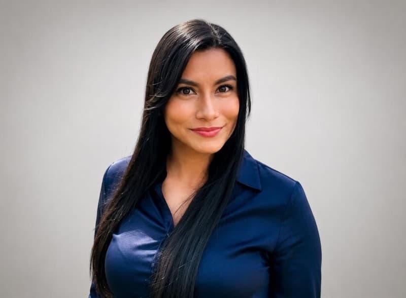
Beatriz Montoya
Civil Engineer · Category B Hydrographer · Surveyor
Originally from El Salvador, Beatriz is a Civil Engineer and Category B Hydrographer (FIG/IHO) certified by the Japan Coast Guard and JICA. With over a decade of technical experience, she specializes in precise spatial data analysis, geodetic networks, and bathymetric modeling.
Read full bioShow less
During her work at the National Registry Center (CNR) of El Salvador, she directed nationwide geodetic campaigns, managed the processing of GNSS observations, and executed high-precision coordinate transformations across multiple reference systems. As a recognized authority in this field, she represented El Salvador at the United Nations Workshop on the Applications of Global Navigation Satellite Systems (UNOOSA) in Mongolia in 2021, where she presented on the use of GNSS systems in geodesy management.
Complementing her hydrographic and geospatial expertise, she holds a diploma in International Law of the Sea (Derecho Internacional del Mar) from the Instituto Especializado de Educación Superior para la Formación Diplomática.
In the United States, her professional work centers on mechanical dredging operations, marine infrastructure, and quality control. She seamlessly integrates her technical background with environmental conservation, actively participating in WEDA to protect marine fauna during operations. Outside of her professional roles, she enjoys coastal environments and hiking the Santa Ana volcano.
Agenda
Wednesday, October 28
Toro Bravo Restaurant, Vail, AZ
6:00 PM
Welcome Event: Arizona Folklore and Mysterious Happenings
Dustin Gardner, PLS
An evening of Arizona folklore and strange surveying stories from The Superstitious Surveyor. His book will be available for purchase and signing.
Thursday, October 29
University of Arizona Tech Park · Tech Event Center · 9030 S. Rita Road, Suite 302, Tucson, AZ 85747
7:00–8:00 AM
Doors Open, Breakfast and Exhibitor Networking
Coffee, breakfast, technology displays, and time to meet exhibitors.
8:00–8:30 AM
Welcome to DGTE and Southern Arizona
Dr. Davey Edwards and Amanda Myers
Opening remarks and a welcome to Southern Arizona’s technology community.
8:30–9:00 AM
What’s New at Darling Geomatics
Amanda Manos, PLS
Introducing Darling MineSight™: From Ground to Intelligence. Integrating GNSS, 3D scanning, LiDAR, remote sensing, and AI for intuitive mine planning.
9:00–10:30 AM
Scanning Is Easy. Surveying Is Hard.
Rob Mooers, RLS
Making UAVs, SLAM, and terrestrial laser scanning produce accurate, survey-grade results.
10:30–10:45 AM
Break and Exhibitor Mingle
Meet exhibitors and explore the technology on display.
10:45 AM–12:15 PM
Where Boundary Surveys and AI Collide: The Future of the Boundary Surveyor
Dr. Davey Edwards, PhD, PLS, LSLS, CFedS
Explore the intersection of traditional boundary surveying and emerging AI, and what it could mean for the boundary surveyor’s role.
12:15–1:30 PM
Catered Lunch and Exhibitor Networking
Catered lunch with time to connect with exhibitors and colleagues.
1:30–2:30 PM
AI Beyond Earth
Ash Black
Intelligent agriculture, resource mining, biosphere science, and autonomous food production beyond Earth.
2:30–3:00 PM
Break, Exhibits and Networking
Continue conversations, visit exhibitors, and explore demonstrations.
3:00–4:30 PM
Innovative GNSS Applications in Hydrographic Surveying and Geodesy
Beatriz Montoya
Innovative GNSS applications and their evolving role in geodesy, positioning, and hydrographic engineering.
4:30–5:30 PM
Closing Reception and Connection Hour
Snacks, refreshments, final demonstrations, and time to turn introductions into lasting connections.
Special guests

Amanda Myers
President, TANK’S Green Stuff and The Fairfax Companies, LLC
Born and raised in Tucson, Amanda Myers carries forward her family’s waste-management legacy and her father’s vision for putting discarded materials to productive use. The business uses a former quarry site and transforms green waste into compost, mulch, and soil products while recycling construction materials. At DGTE, Amanda welcomes attendees to Tucson and shares a local perspective on family enterprise and environmental stewardship.
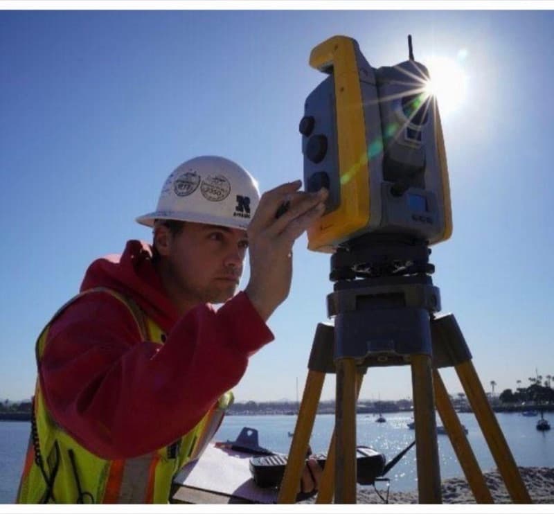
Dustin Gardner, PLS
The Superstitious Surveyor · Project Manager, Diamondback Land Surveying
Dustin Gardner is a fourth-generation land surveyor, author, historian, and folklorist. A project manager at Diamondback Land Surveying, he is licensed in Arizona, Nevada, Idaho, and Utah. His studies include American literature at the University of Nebraska–Lincoln and land surveying at Idaho State University.
Read full bioShow less
He brings together a professional interest in surveying with a fascination for the stories, myths, and legends that shape our understanding of history. At the October 28 welcome event at Toro Bravo Restaurant in Vail, he shares Arizona folklore and strange surveying stories. His book will be available for purchase and signing.
Measure. Learn. Connect. Elevate.
Plan your next capture.
Tell us about the site and the deliverables you need. Our team will recommend the right mix of drone, terrestrial and mobile capture.