Industries
3D Scanning, Metrology & Thermal Inspection for Industrial Facilities
Millimeter-accurate laser scanning, sub-millimeter metrology and radiometric thermal imaging for plants, processing facilities and tank farms, captured without stopping production.
Accurate facility data without stopping production
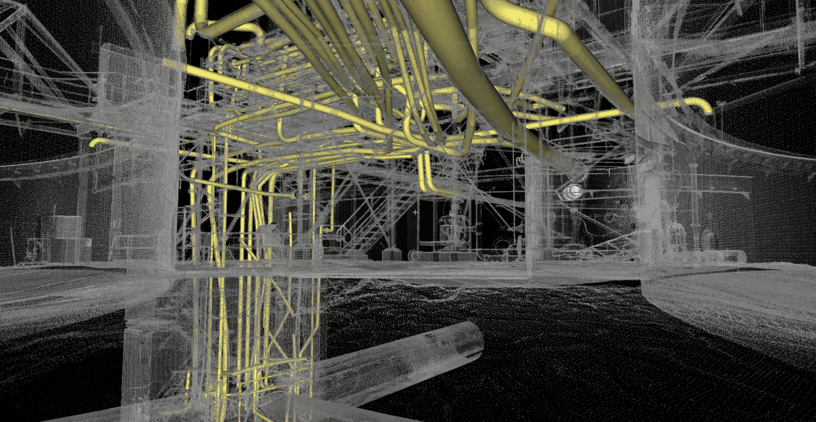
Industrial facilities change constantly: new lines go in, equipment is relocated, piping is rerouted and drawings fall out of date. Darling Geomatics captures existing conditions with terrestrial laser scanning, drone LiDAR and photogrammetry, documenting equipment layouts, piping systems, structural steel and clearances with millimeter accuracy.
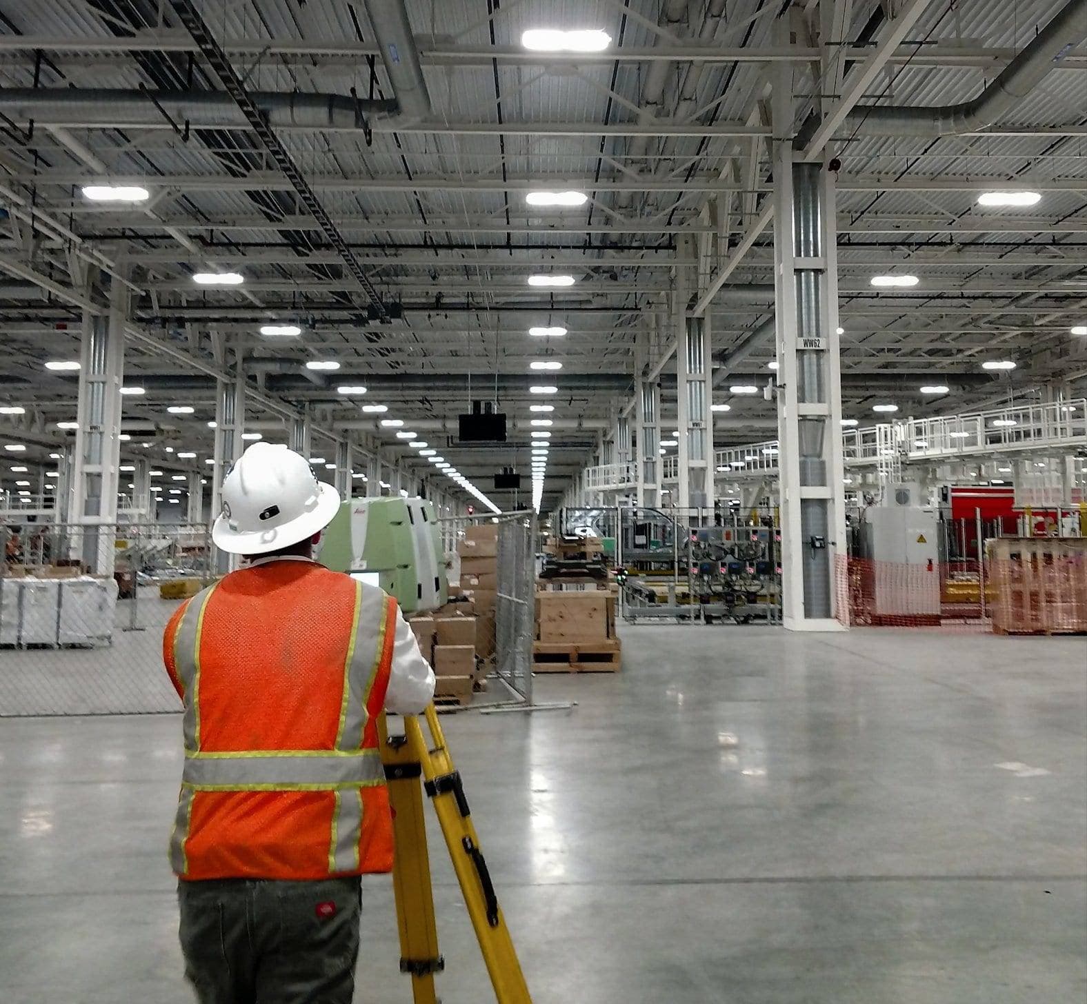
Our crews scan from safe distances and work around operating schedules, so engineers get complete, verifiable data without putting people in hazardous areas or taking critical equipment offline.
What we deliver for industrial sites
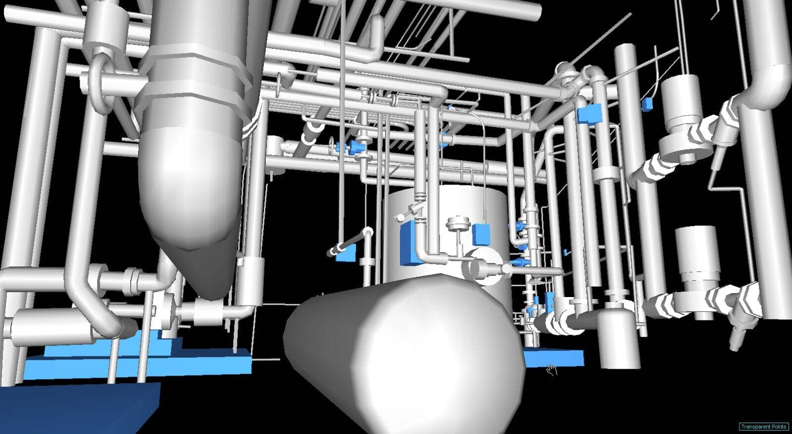
- As-built point clouds and 3D CAD models
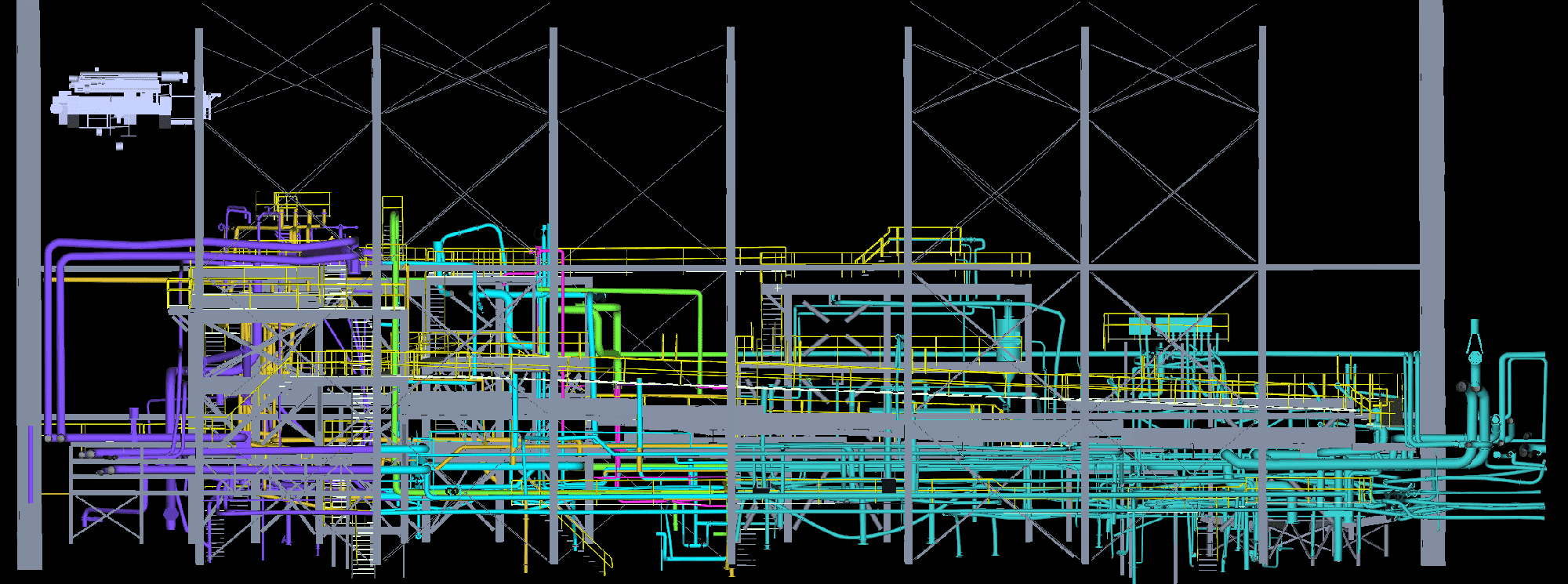
- Scan to BIM and Revit models
- Clash detection before equipment installation
- Sub-millimeter metrology and equipment alignment
- Tank settlement and deformation surveys
- Radiometric thermal inspections
- Asset mapping and equipment inventory
- Earthwork and stockpile volumes
Retrofits, expansions and equipment installs
Scan data reveals actual site conditions before new equipment arrives. Engineers use our point clouds to virtually position machinery, check doorway and overhead clearances, and find access constraints before fabrication begins.
For clash detection we overlay proposed equipment and design models against the existing facility scan, identifying spatial conflicts with piping, ductwork and structure before they become field changes.
Metrology for critical equipment
When millimeters are too coarse, our metrology team uses laser trackers with accuracy up to ±0.010 mm for dimensional inspection, machine alignment and change detection. On a confidential power generation project we monitored turbine components through shutdown and startup, detecting displacement to ±0.025 mm.
Tank farms and storage
Large storage tanks need monitoring for settlement, deformation and other irregularities. We combine laser scanning and aerial drones to collect accurate, repeatable tank data from a safe distance, then process it into deliverables your team can review from their desks.
Thermal imaging for maintenance teams
Infrared Training Center certified thermographers use radiometric FLIR and Zenmuse XT cameras to find leaks, overheating components and thermal imbalances before they cause failures. Every pixel is georeferenced, so maintenance crews know exactly where to go.
Proven at industrial scale
For an expansion at the Mercedes-Benz U.S. International plant in Vance, Alabama, a four-person Darling crew scanned 1.5 million square feet from 920 setups in eight days. The resulting as-built model was compared with the design models to verify that major construction components were within a 0.5 inch specification.
Deliverables in the formats you already use
- Point clouds
- 3D CAD
- Revit
- 2D CAD
- 3D solids
- Flythroughs
More industries
Airports & Aviation
Darling Geomatics provides surveying and LiDAR services for airports, supporting runway design, safety, and infrastructure projects.
Explore →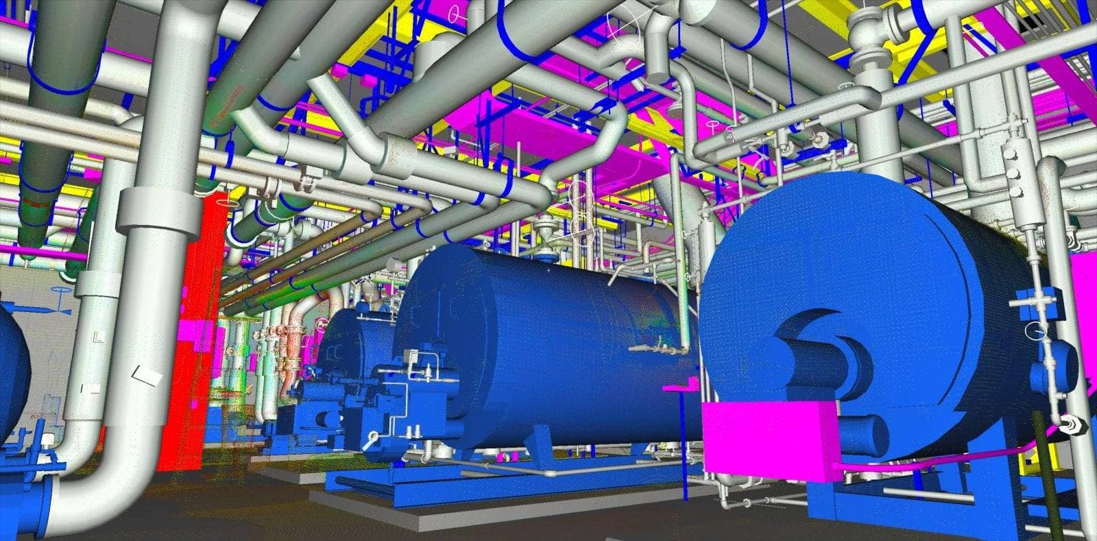
Civil Engineering
Survey-grade 3D laser scanning and drone services for civil engineering. Transportation design, bridge inspection, site development, and construction monitoring.
Explore →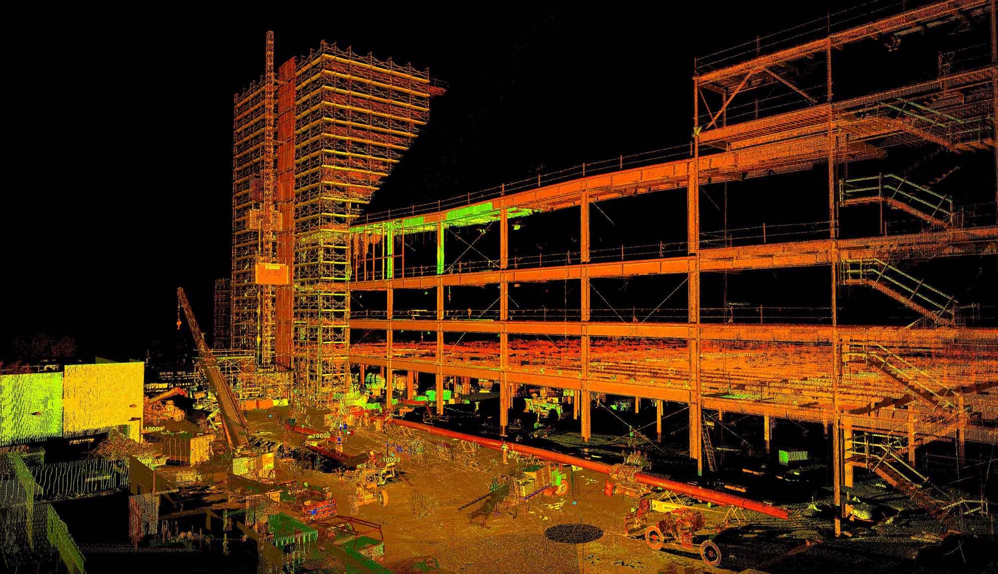
Construction
Darling Geomatics supports construction with LiDAR, drone surveying, and AI-driven solutions for land development and site planning.
Explore →Plan your next capture.
Tell us about the site and the deliverables you need. Our team will recommend the right mix of drone, terrestrial and mobile capture.