
Applications
Mine Site Mapping from Surface to Underground
Mine site mapping with drones, LiDAR and survey: pits, stockpiles, haul roads, plants and underground workings in one coordinate system.
Mine site mapping brings the whole operation into one picture: open pits, benches, haul roads, stockpiles, processing plants and underground workings, all in the same coordinates. With a current map, planners, engineers and managers make decisions from the same data.
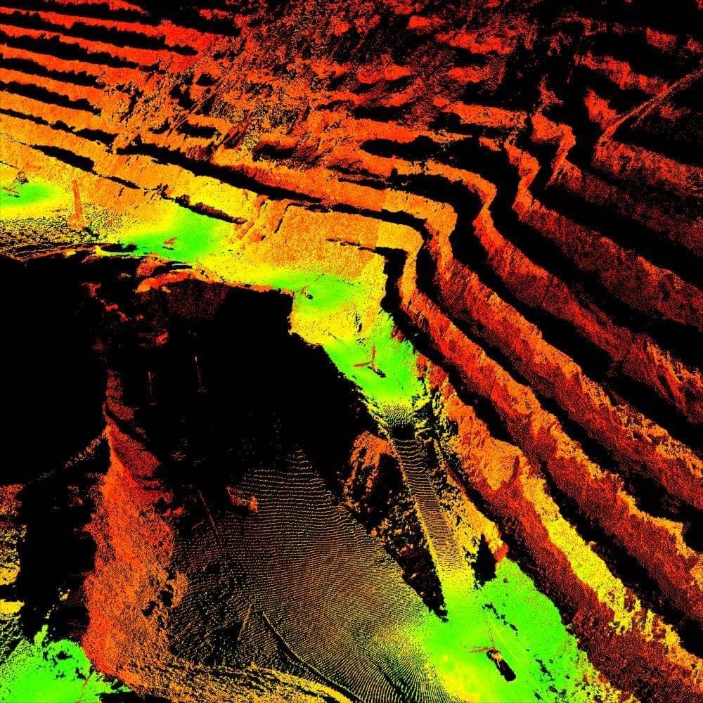
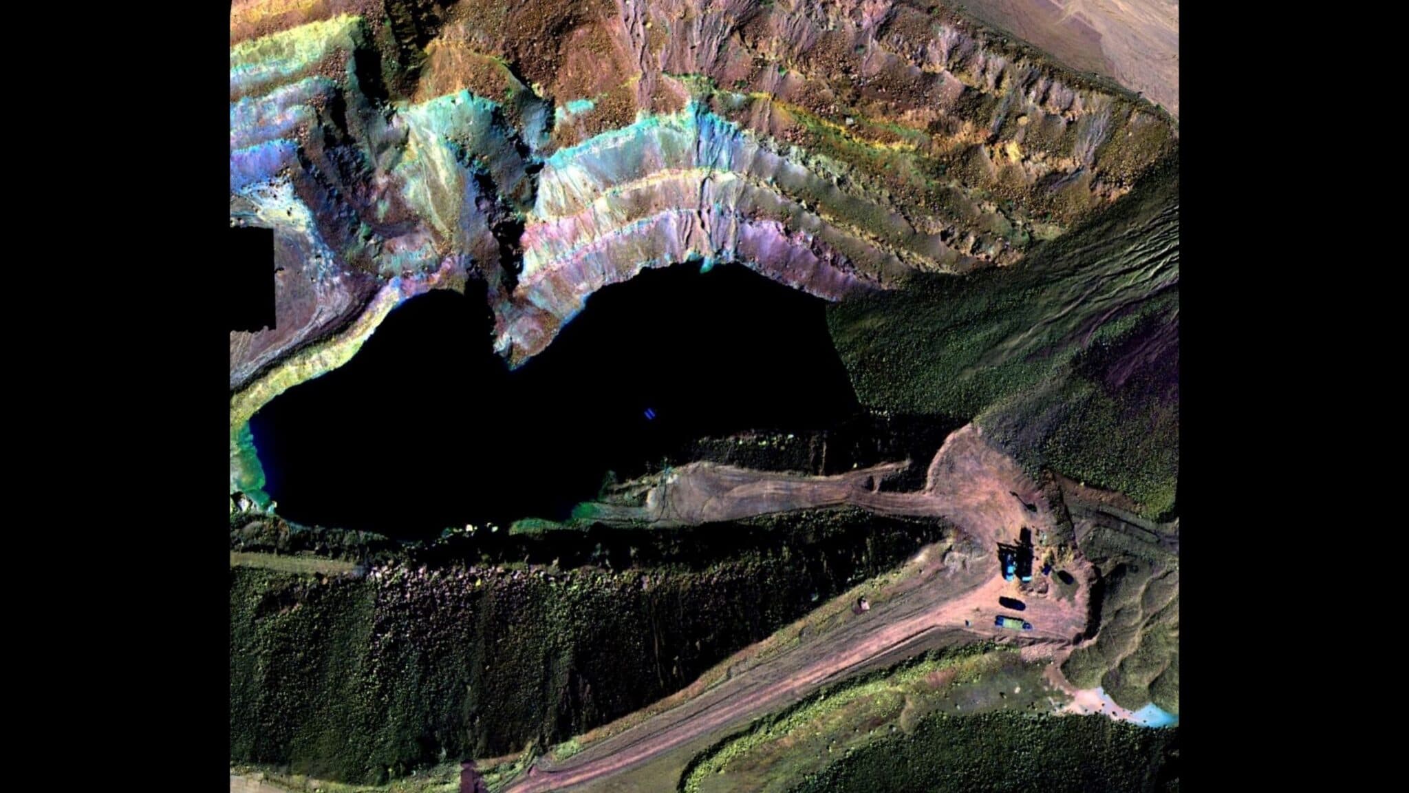
Darling Geomatics maps mine sites with drone LiDAR and photogrammetry, terrestrial and mobile laser scanning, and drones that fly inside underground workings. For gold and copper operations we have mapped underground workings, processing mills and mineral-bearing ground with LiDAR and hyperspectral imaging.
What mine site mapping includes
- Pit and bench surveys with surfaces and contours
- Stockpile volume surveys
- Haul road and drainage mapping
- Plant and mill scans for digital twins
- Underground mine scanning
- Claim staking and boundary work
Deliverables
- Orthomosaics and 3D mesh models of the site
- Digital terrain models and LandXML surfaces
- Point clouds of plants and underground workings
- CAD drawings and volume reports
- Data brought together in MineSight, our integrated workflow for mine sites
Can surface and underground data be combined?
Yes. We tie surface and underground surveys to the same control, so mine site mapping shows workings beneath the surface in their true position.
Keeping the map current
A mine changes every day, so mine site mapping is most valuable when it is repeated. Regular drone flights update pit surfaces, stockpiles and haul roads; periodic scans update plants and underground workings. Because every survey ties to the same control, each update slots into the existing map and shows what has changed since the last one.
Current maps support production reconciliation, safety reviews, drainage and haul road maintenance, and planning of the next phase. Combining aerial and ground data in one workflow means engineers spend less time reconciling datasets and more time using them.
Mine site mapping data is delivered in the formats mine planning and engineering software use, together with orthomosaics and 3D models that the whole site team can read.
More applications
3D Topography
Learn how Darling Geomatics delivers 3D topography surveys with LiDAR and drones for accurate terrain models and land development projects.
Explore →
ALTA/NSPS Surveys
Darling Geomatics delivers ALTA/NSPS land title surveys in Arizona with accurate boundary, easement, and encroachment data for lenders and title needs.
Explore →
As-Built Surveys
Professional as built survey services using LiDAR scanning & BIM technology. Digital twins for construction verification, renovations & facility management.
Explore →Plan your next capture.
Tell us about the site and the deliverables you need. Our team will recommend the right mix of drone, terrestrial and mobile capture.