
Deliverables
Survey CAD Drawings and Base Maps
Survey CAD drawings and base maps in DWG and DXF: topography, features, utilities and as-built conditions, drawn to your layer standard.
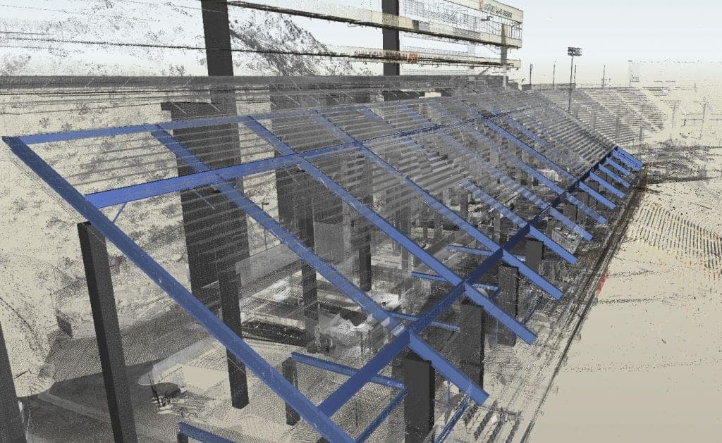
A survey CAD drawing turns field measurements, laser scans and drone data into the linework that designers build on: property lines, buildings, pavement, utilities, contours and annotation. A clean CAD drawing saves every later step of a project from redrawing the site.
Darling Geomatics drafts CAD drawings to your layer standard and coordinate system, from conventional survey, point clouds and orthomosaics, and checks them against the field data before delivery.
CAD drawings we deliver
- Topographic base maps with contours and spot elevations
- Existing conditions and as-built drawings
- Floor plans, elevations and sections from laser scans
- Utility and easement drawings
- ALTA/NSPS survey drawings
Formats
- AutoCAD DWG and DXF
- Civil 3D drawings with surfaces
- PDF sets for review
- The point cloud the drawing came from, on request
Can you work to our CAD standard?
Yes. Send us your template or layer standard and we will draft the CAD drawing to it.
From field data to clean linework
Our CAD drawings start from measured data: conventional survey shots, laser scan point clouds and drone orthomosaics. Drafters trace features from the data rather than from old plans, so the drawing shows what is on the ground today. Every drawing is checked against the field data and the survey control before it goes out.
Drawings are organized on layers to your standard, with text styles, blocks and line types your team already uses, and set up in your coordinate system so they overlay design files without moving. Where a project needs more than 2D, the same survey can provide surfaces, point clouds and BIM models that match the CAD drawing exactly.
Typical CAD drawing sets include a title block and notes to your format, a basis of bearings and benchmark statement, and a legend of the symbols used. Revisions after review are tracked so everyone works from the latest drawing, and the native DWG is always delivered alongside the PDF.
More deliverables
3D Mesh Models
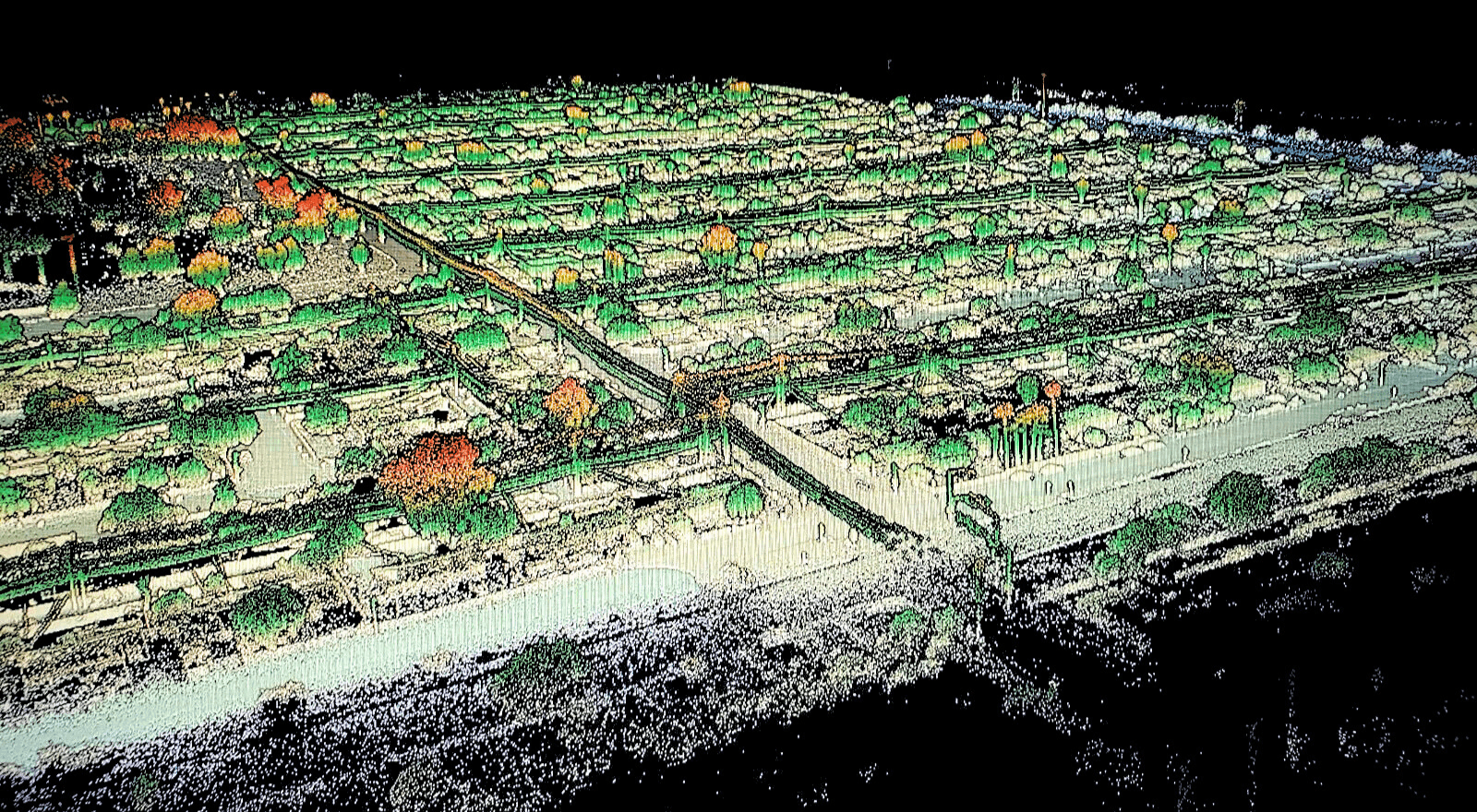
Photo-textured 3D mesh models from drone and laser scan data: realistic, measurable models of sites, buildings and structures to view and share.
Explore →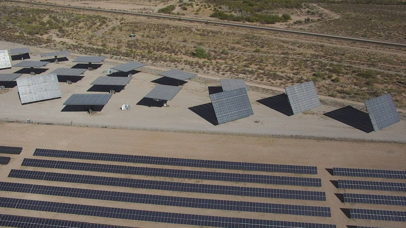
Contour Maps
Contour maps drawn from LiDAR, photogrammetry and ground survey: accurate elevation lines at your interval, delivered in CAD for design and grading.
Explore →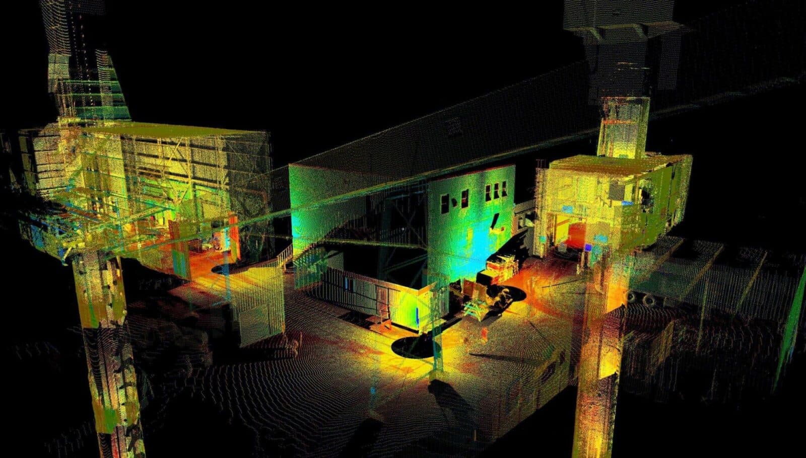
Deformation Monitoring
Deformation monitoring with repeat laser scans and precise survey: measured settlement, movement and change of structures, slopes and tanks.
Explore →Plan your next capture.
Tell us about the site and the deliverables you need. Our team will recommend the right mix of drone, terrestrial and mobile capture.