
Deliverables
3D Mesh Models of Sites, Buildings and Structures
Photo-textured 3D mesh models from drone and laser scan data: realistic, measurable models of sites, buildings and structures to view and share.
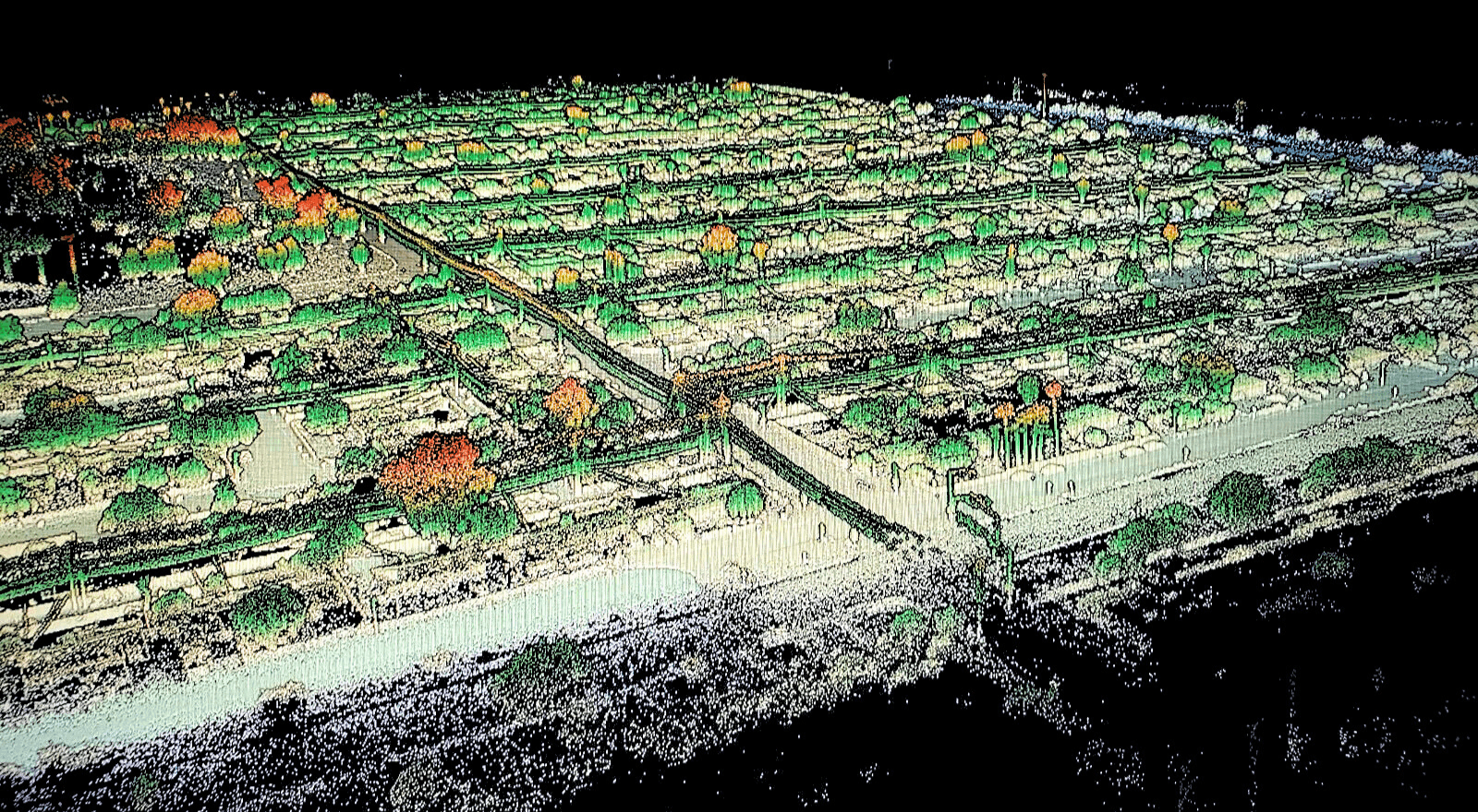
A 3D mesh is a continuous surface model built from point cloud and photo data, with the real colors and textures of the site draped over it. A 3D mesh looks like the place itself, so owners, designers and the public can understand a site at a glance, while it stays measurable.
Darling Geomatics builds 3D mesh models from drone photogrammetry, LiDAR and terrestrial laser scans, tied to survey control so the model sits in real-world coordinates.
What you receive
- A photo-textured 3D mesh of the site, building or structure
- Common 3D formats such as OBJ, FBX and PLY, and web-ready tiles for large sites
- A viewer link to share with your team
- The point cloud and orthomosaic from the same capture
Where 3D mesh models are used
- Design review and stakeholder presentations
- Digital twins of facilities and mine sites
- Inspection planning for structures that are hard to reach
- Historical and heritage documentation
- Marketing and public outreach
Is a 3D mesh the same as a point cloud?
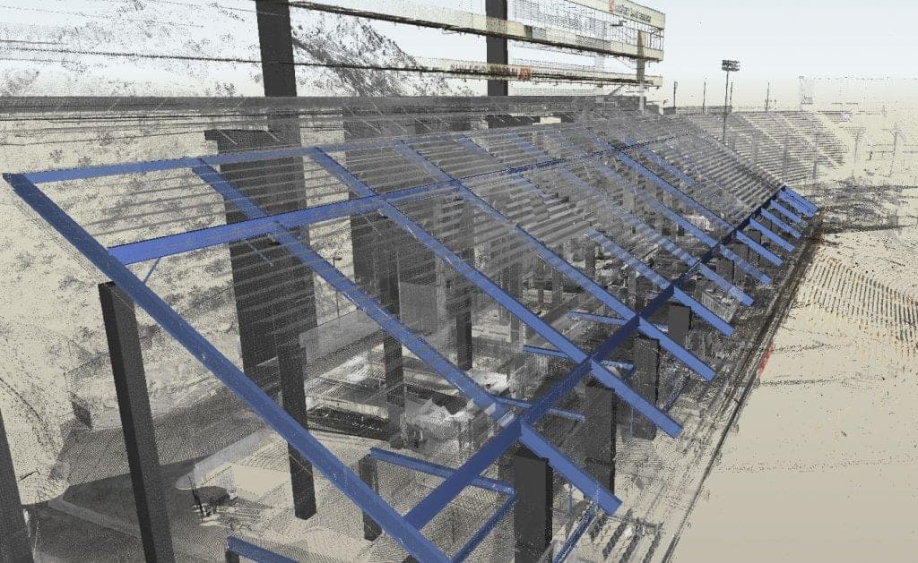
No. A point cloud is millions of separate measured points; a 3D mesh joins them into a solid, textured surface. Meshes are easier to view; point clouds carry the raw measurements.
How a 3D mesh is made
For sites and exteriors we fly overlapping drone photos from several angles, including oblique views of building faces. For interiors and structures we add terrestrial laser scans. The images and points are processed into a dense surface that is triangulated into a mesh, and the original photos are draped over it as texture, giving a model that is both realistic and measurable.
Large meshes are delivered as tiled models that stream smoothly in a web viewer, so anyone on the team can explore the site without special software. Because the 3D mesh is tied to survey control, it lines up with CAD drawings, BIM models and point clouds from the same project.
More deliverables
CAD Drawings
Survey CAD drawings and base maps in DWG and DXF: topography, features, utilities and as-built conditions, drawn to your layer standard.
Explore →
Contour Maps
Contour maps drawn from LiDAR, photogrammetry and ground survey: accurate elevation lines at your interval, delivered in CAD for design and grading.
Explore →
Deformation Monitoring
Deformation monitoring with repeat laser scans and precise survey: measured settlement, movement and change of structures, slopes and tanks.
Explore →Plan your next capture.
Tell us about the site and the deliverables you need. Our team will recommend the right mix of drone, terrestrial and mobile capture.