
Services
MineSight: One Trusted Dataset for Active Mine Sites
MineSight from Darling Geomatics joins drone data, terrestrial scans and survey-grade control into one dataset for active mine sites.
MineSight is Darling Geomatics' integrated geospatial workflow for active mine sites. MineSight connects aerial data captured by drone, terrestrial laser scanning on the ground and survey-grade control that ties everything together, so engineering and operations teams work from one dataset they can trust instead of reconciling three.
Most mines already collect plenty of data. The problem is that it lives in different systems, is processed by different teams and rarely comes together in time to inform a decision. MineSight closes the gap between having data and having decision-ready information.
What you get with MineSight
- Accurate volumetrics for stockpiles, waste rock and material movement
- Repeatable monitoring of the same locations over time: ground movement, stockpile depletion and infrastructure condition
- Aerial and terrestrial data aligned on the same survey-grade control
- Engineering deliverables sooner after capture
Why it matters for active operations
- Faster operational decisions, without waiting on data reconciliation
- Less field exposure, with more data collected remotely by drones and scanners
- Stockpile and grading decisions made days earlier, as on one active operation we support
Built by mine surveyors
MineSight came out of decades of hands-on mine surveying: claim staking, topographic surveys, tunnel and shaft mapping and volume calculations. That mining experience, combined with drone technology, LiDAR scanning and survey-grade ground control, shapes a workflow designed around how active mine sites operate.
Is MineSight software or a service?
MineSight is an integrated workflow: Darling Geomatics captures, processes and ties together your mine site data and delivers it as one consistent dataset.
Which sites is MineSight for?
Active mine sites with stockpiles, processing facilities or underground workings that need current, connected survey data for production, safety and planning decisions.
Every MineSight project is set up around the decisions the site needs to make, with capture schedules that match production and reporting cycles.
More services
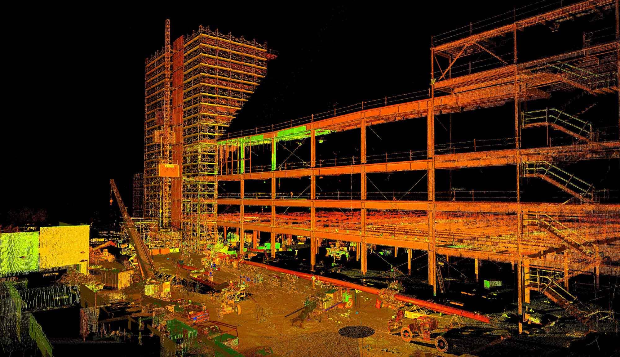
3D Scanning
Darling Geomatics delivers certified point cloud surveys and 3D LiDAR scanning using terrestrial LiDAR and drone integration for complete project accuracy.
Explore →Construction Staking
Construction staking and layout from Darling Geomatics: control, grades and structure layout that put the design on the ground, with as-built checks.
Explore →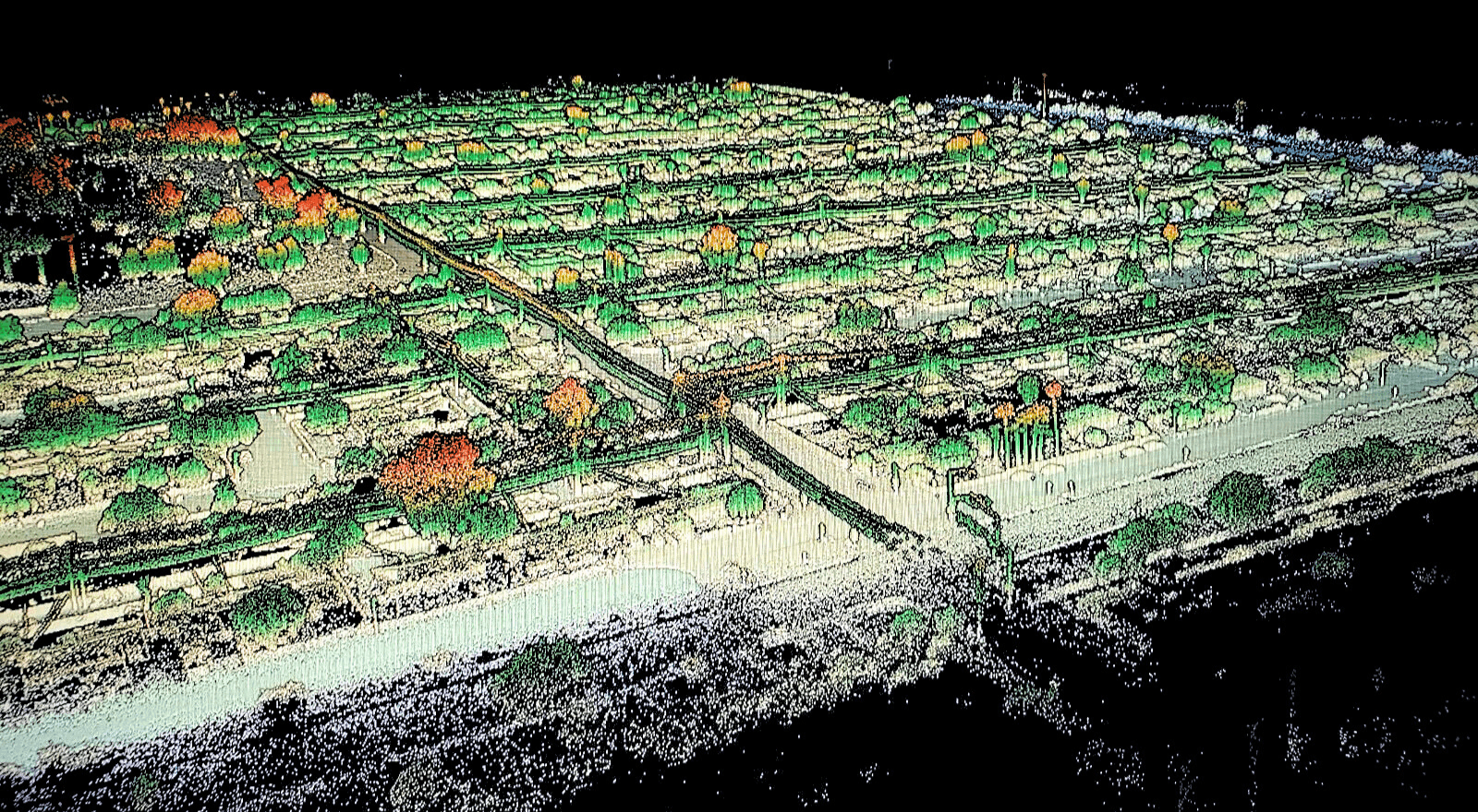
Digital Twins
Leverage digital twins for accurate, real-time construction project insights. Enhance planning, monitoring, and collaboration with Darling's expert services.
Explore →Plan your next capture.
Tell us about the site and the deliverables you need. Our team will recommend the right mix of drone, terrestrial and mobile capture.