
Service Areas
Surveying, LiDAR and 3D Scanning Across Arizona
Arizona surveying from Darling Geomatics in Tucson: ALTA, topographic and mine surveys, drone LiDAR and 3D laser scanning statewide.
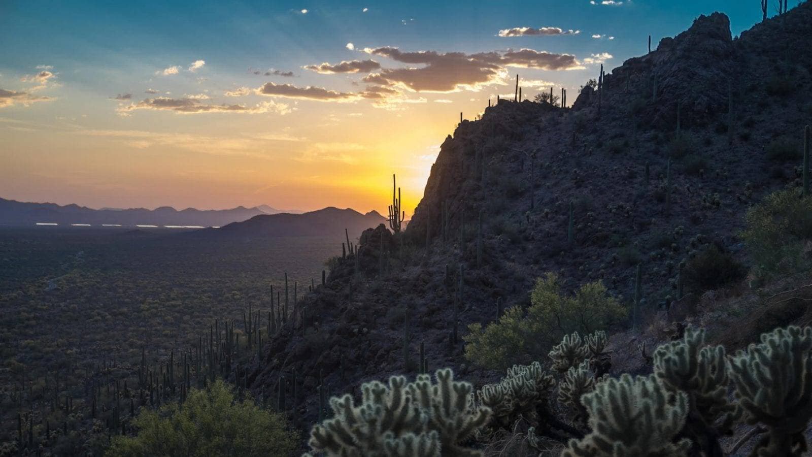
Darling Geomatics has worked across Arizona since 1997, from our headquarters in Tucson. We provide land surveying, drone LiDAR, 3D laser scanning and mine surveying statewide, for developers, engineers, contractors, utilities, mines and public agencies in Arizona.
Arizona projects bring their own demands: mining claims and underground workings, large solar and industrial sites, desert drainage and fast-growing metro areas. Our case studies include Arizona copper mines, a southern Arizona water pipeline and solar development sites.
Arizona surveying services
- ALTA/NSPS land title surveys in Arizona
- Mine surveying, claim staking and underground mine scanning
- Topographic surveys and drone mapping for solar and land development
- 3D laser scanning, scan to BIM and digital twins
- Construction staking, verification and as-built surveys
- Environmental surveying and permitting
Where we work in Arizona
- Tucson and Southern Arizona
- Phoenix and Central Arizona
- Mining districts and rural sites statewide
Statewide experience
Arizona's mining districts, desert terrain and fast-growing cities all call for different survey approaches. Drone LiDAR covers large and rugged sites; laser scanning captures plants, mills and buildings in detail; licensed land surveyors handle boundaries, ALTA/NSPS surveys and construction layout. Our Arizona projects include copper mine digital twins, hyperspectral mineral mapping, mobile LiDAR on a water pipeline and topographic mapping for solar development.
Darling Geomatics holds the City of Tucson on-call land surveying contract and works with developers, contractors, utilities, mines and agencies across the state. Wherever your Arizona project is, we can recommend the capture method and deliverables that fit it.
Every Arizona project starts with the same question: what does the team need to decide next? From that we choose the capture methods and deliverables, plan the field work around site access and weather, and deliver data in the coordinate system and formats your engineers use. Call (520) 298-2725 or request a proposal to get started.
More service areas
Colorado
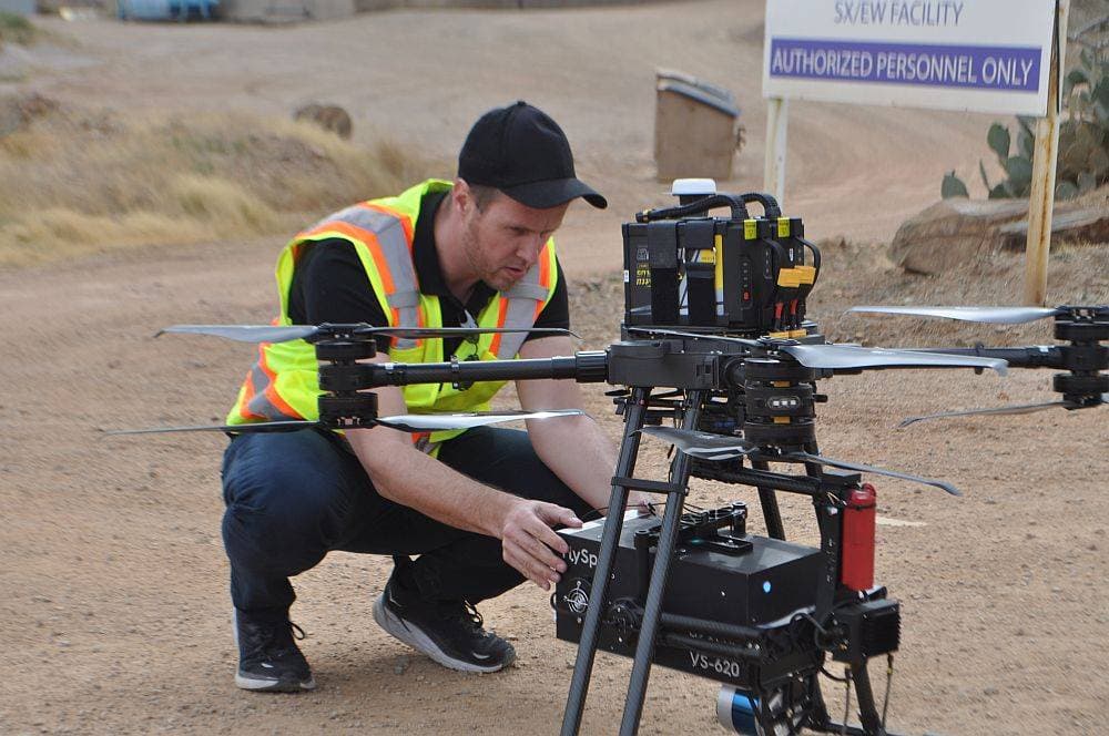
Colorado surveying, drone LiDAR and 3D scanning for mining, utility, energy and construction projects across the state.
Explore →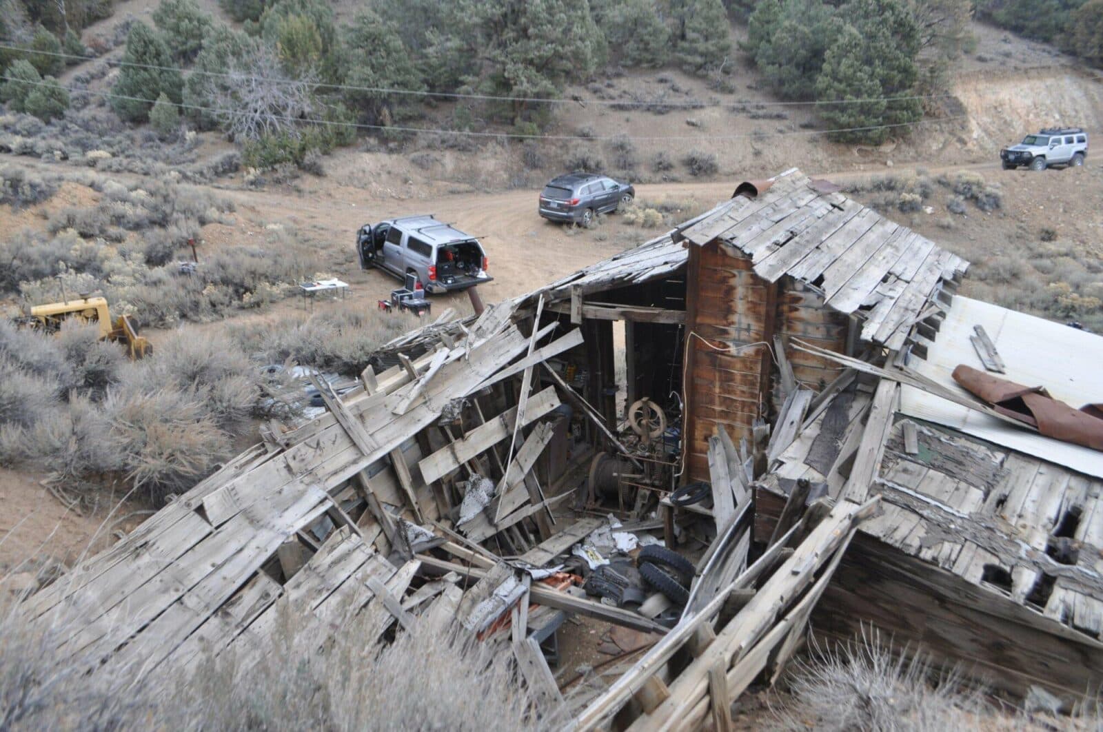
Nevada
Nevada surveying and mine mapping with drones and LiDAR: underground mine scanning, stockpile volumes, topography and 3D laser scanning.
Explore →New Mexico
New Mexico surveying, drone LiDAR and 3D laser scanning for energy, mining, utility and development projects, from Darling Geomatics.
Explore →Plan your next capture.
Tell us about the site and the deliverables you need. Our team will recommend the right mix of drone, terrestrial and mobile capture.