
Deliverables
Digital Terrain Models (DTM) and Surface Models
Digital terrain models from LiDAR and ground survey: bare-earth surfaces for design, earthwork, drainage and volume calculations, in your format.
A digital terrain model (DTM) is a 3D surface of the bare ground, with vegetation, buildings and other objects removed. It is the base that design software uses for grading, drainage, earthwork and volume calculations, and the source of contour maps and profiles.
Darling Geomatics builds each digital terrain model from classified LiDAR or photogrammetry points and surveyed breaklines, then checks it against independent survey points so you know how well the surface fits the ground.
Terrain and surface models we deliver
- Digital terrain model (bare earth) as a TIN surface or grid
- Digital surface model including buildings and vegetation, when you need the tops of things
- LandXML and Civil 3D surfaces
- GeoTIFF elevation grids for GIS
- Contours, profiles and cross sections from the model
Where they are used
- Civil design and earthwork balancing
- Drainage and flood studies
- Mine planning and stockpile volumes
- Comparing surveys to measure change
What is the difference between a DTM and a DSM?
A digital terrain model is the bare ground. A digital surface model includes everything on top of it, such as buildings and trees. Design work usually needs the terrain model.
How a digital terrain model is built
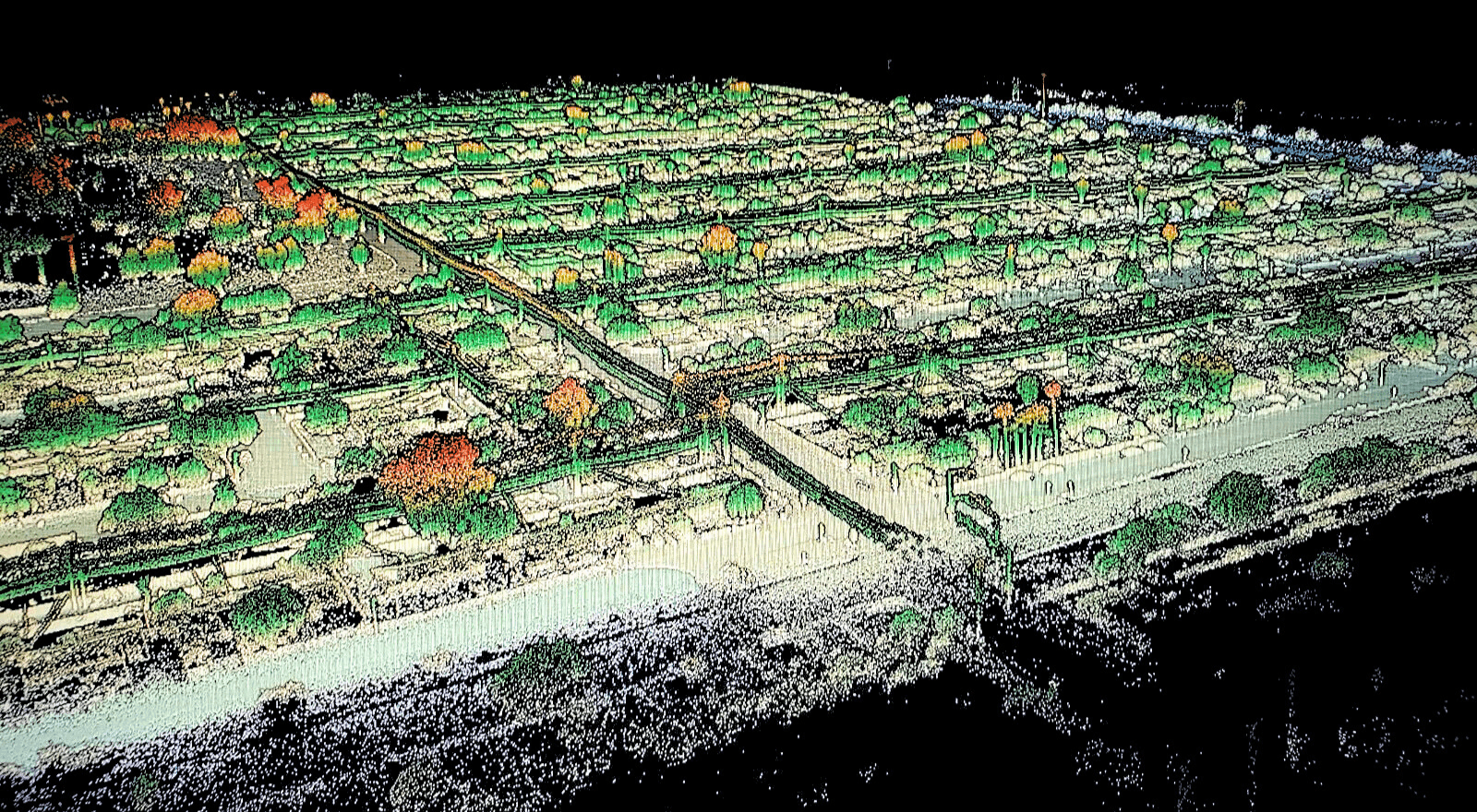
Drone LiDAR and photogrammetry produce millions of points on everything the sensor sees. Classification separates ground from vegetation, buildings, vehicles and noise. The ground points, together with surveyed breaklines, are then joined into a triangulated surface or gridded into an elevation raster. Breaklines keep sharp edges sharp, so curbs, ditches and benches are not rounded off.
Every digital terrain model we deliver is checked against independent ground survey points, and we report how closely the model fits them. The same model can produce contours, profiles, cross sections and volumes, and it loads directly into Civil 3D and other design software as LandXML.
A digital terrain model also makes change visible. Subtracting one survey's model from the next shows where ground was cut, filled or eroded, and by how much.
More deliverables
3D Mesh Models
Photo-textured 3D mesh models from drone and laser scan data: realistic, measurable models of sites, buildings and structures to view and share.
Explore →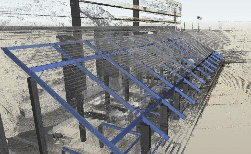
CAD Drawings
Survey CAD drawings and base maps in DWG and DXF: topography, features, utilities and as-built conditions, drawn to your layer standard.
Explore →
Contour Maps
Contour maps drawn from LiDAR, photogrammetry and ground survey: accurate elevation lines at your interval, delivered in CAD for design and grading.
Explore →Plan your next capture.
Tell us about the site and the deliverables you need. Our team will recommend the right mix of drone, terrestrial and mobile capture.