
Deliverables
Orthomosaic Maps from Drone Surveys
Survey-grade orthomosaic maps from drone imagery: true-to-scale aerial photos for design, planning, progress tracking and records, delivered as GeoTIFF.
An orthomosaic is a single aerial image of a site, stitched from hundreds or thousands of overlapping drone photos and corrected so that every pixel sits in its true map position. Unlike an ordinary aerial photo, an orthomosaic has a uniform scale, so distances and areas can be measured directly from it.
Darling Geomatics flies the site with survey-grade drones and ties the imagery to ground control, so the orthomosaic lines up with your survey, CAD drawings and GIS layers.
What you receive
- A georeferenced orthomosaic in your project coordinate system
- GeoTIFF and other common raster formats for CAD and GIS
- Tiled versions for fast viewing on large sites
- Optional matching products from the same flight: point cloud, digital terrain model and contours
Where orthomosaics are used
- Site planning and design backgrounds
- Construction progress tracking and documentation
- Mine and stockpile planning
- Land development and due diligence
- Record imagery of a site at a point in time
How is an orthomosaic different from satellite imagery?
A drone orthomosaic is captured at much lower altitude, so it shows far more detail, and it is current: it shows the site on the day of the flight, tied to survey control.
Can an orthomosaic replace a topographic survey?
No. An orthomosaic is a flat image; it shows what is there but not elevations. Pair it with a topographic survey or digital terrain model when you need heights and grades.
How we produce an orthomosaic
We plan the flight for the detail you need, with enough overlap between photos for the software to match every part of the site. Ground control points and checkpoints are surveyed on the ground; the control fixes the orthomosaic to your coordinate system and the checkpoints show how well it fits. The images are then processed into a surface model and the photos are projected onto it, removing the lean of buildings and terrain so the result is a true map view.
Large sites can be captured in a single visit, and repeat flights over the same control give orthomosaics that line up from one month to the next, which makes them ideal for tracking construction progress or changes on a mine site.
More deliverables
3D Mesh Models
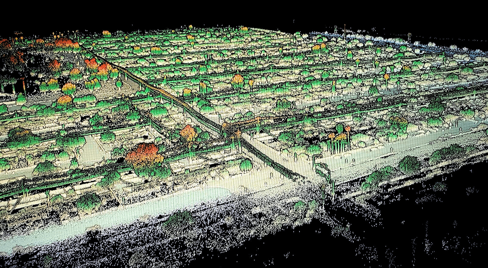
Photo-textured 3D mesh models from drone and laser scan data: realistic, measurable models of sites, buildings and structures to view and share.
Explore →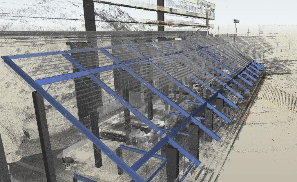
CAD Drawings
Survey CAD drawings and base maps in DWG and DXF: topography, features, utilities and as-built conditions, drawn to your layer standard.
Explore →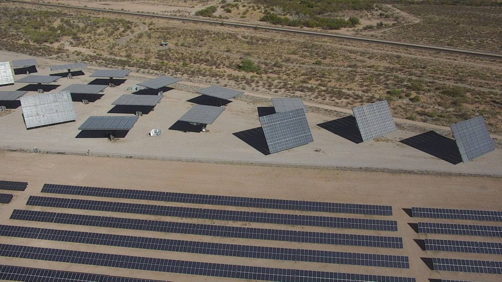
Contour Maps
Contour maps drawn from LiDAR, photogrammetry and ground survey: accurate elevation lines at your interval, delivered in CAD for design and grading.
Explore →Plan your next capture.
Tell us about the site and the deliverables you need. Our team will recommend the right mix of drone, terrestrial and mobile capture.