
Deliverables
Topographic Survey Services
Topographic survey services for design and permitting: ground, drone LiDAR and photogrammetry topography with contours, surfaces and CAD.
A topographic survey maps the shape of the land and the features on it: elevations, slopes, drainage, buildings, roads, utilities and vegetation. Engineers, architects and developers need a topographic survey before they can design grading, drainage, roads or buildings with confidence.
Darling Geomatics combines conventional ground survey with drone LiDAR and photogrammetry. Ground survey gives the precision needed at hard surfaces and key features; drone capture covers large or rough areas quickly and safely. Our Registered Land Surveyors, licensed in seven states, oversee the work.
What a topographic survey includes
- Spot elevations and breaklines at curbs, edges and grade changes
- Contour lines at the interval your design needs
- Buildings, pavement, utilities above ground and other site features
- A surface model of the ground for design software
- Survey control so later work ties back to the same coordinates
Deliverables
- CAD drawings (DWG, DXF) with layers to your standard
- LandXML or Civil 3D surfaces
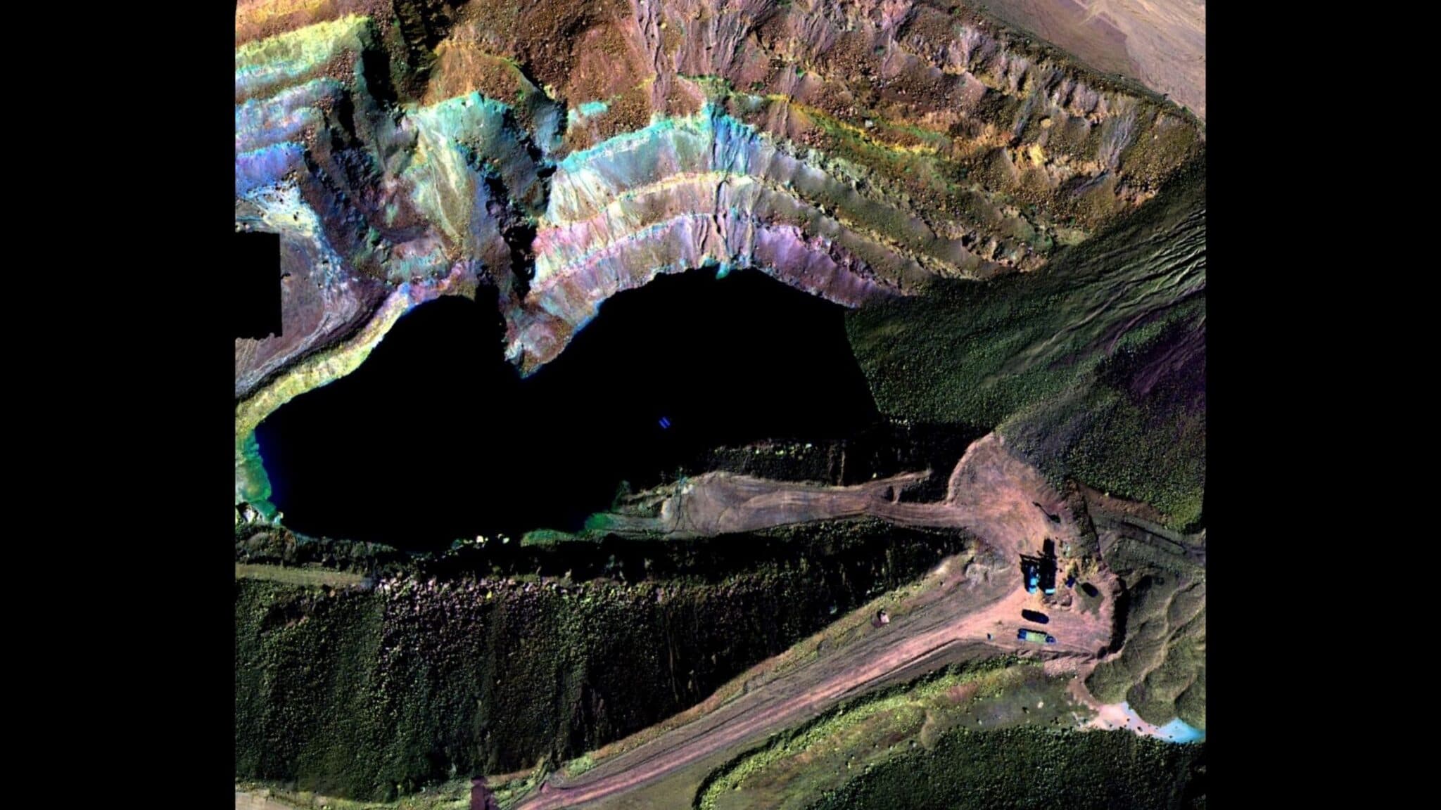
- Point clouds and orthomosaics from drone capture
- A signed and sealed survey where the project requires one
How long does a topographic survey take?
It depends on the size of the site and the detail needed. Drone capture lets us cover large sites in a fraction of the field time of a ground-only survey.
Ground or drone topographic survey?
Most projects use both: drones for coverage and ground survey for hard surfaces and features under trees or structures. We recommend the mix for your site.
Planning a topographic survey
A good topographic survey starts with the design question it has to answer. A building pad needs dense detail at hard surfaces and tie-ins; a drainage study needs reliable ground under vegetation; a road needs breaklines along curbs and edges. We agree the extent, the detail and the contour interval with your engineer before the field work, so the survey answers the question the first time.
Drone LiDAR measures through gaps in vegetation to the ground, which makes it well suited to rough desert and brush. Photogrammetry gives sharp imagery and detail on open ground. Ground survey fills the places neither can see, such as under trees, canopies and structures, and checks the drone data against independent points.
More deliverables
3D Mesh Models
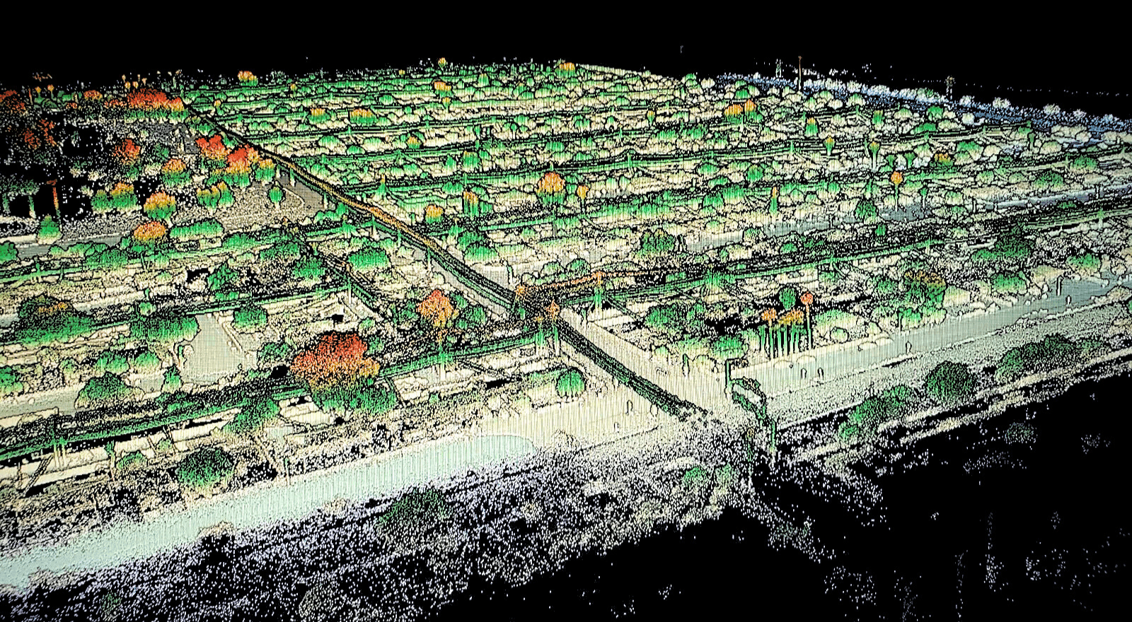
Photo-textured 3D mesh models from drone and laser scan data: realistic, measurable models of sites, buildings and structures to view and share.
Explore →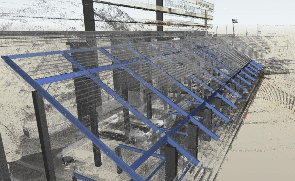
CAD Drawings
Survey CAD drawings and base maps in DWG and DXF: topography, features, utilities and as-built conditions, drawn to your layer standard.
Explore →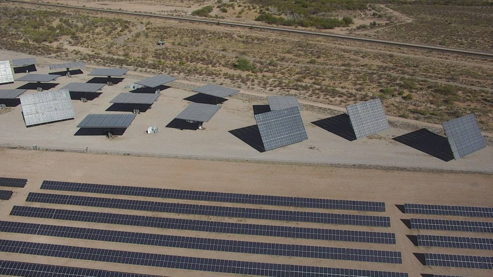
Contour Maps
Contour maps drawn from LiDAR, photogrammetry and ground survey: accurate elevation lines at your interval, delivered in CAD for design and grading.
Explore →Plan your next capture.
Tell us about the site and the deliverables you need. Our team will recommend the right mix of drone, terrestrial and mobile capture.