
Services
Construction Staking and Layout Surveys
Construction staking and layout from Darling Geomatics: control, grades and structure layout that put the design on the ground, with as-built checks.
Construction staking puts the design on the ground. Surveyors set out control, offsets, grades and structure locations so crews build in the right place at the right elevation. Accurate construction staking prevents the most expensive kind of error: building something in the wrong place.
Darling Geomatics provides construction layout for civil, utility, solar, industrial and building projects, and can verify the work afterwards with laser scanning and as-built surveys, so you know what was built matches what was designed.
Construction staking services
- Project control and benchmarks
- Rough and finish grade stakes
- Building corners, gridlines and anchor bolts
- Utility, curb and road layout
- Solar array and foundation layout
- As-built verification after construction
Why it matters
- Fewer field errors and less rework
- Layout tied to the same control as design and as-built surveys
- Construction verification with LiDAR and 3D scanning on the same coordinates
Can you check work after it is built?
Yes. We follow construction staking with as-built surveys and laser scans, comparing what was built to the design.
Construction staking that matches the design
Layout errors usually come from mismatched data: a stake set from one version of the design, or from control that does not agree with the design file. We set out from the current design files and the project control, check the control at the start of each visit, and record what was staked so the field and the office agree on what is on the ground.
On industrial, solar and building projects, construction staking is followed by verification. Laser scans and as-built surveys show whether foundations, anchor bolts, steel and utilities ended up where the design put them, before the next trade builds on top of them. Catching a misplaced foundation early costs far less than finding it when equipment does not fit.
More services
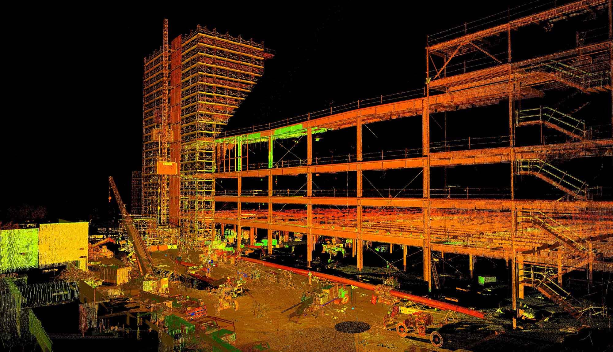
3D Scanning
Darling Geomatics delivers certified point cloud surveys and 3D LiDAR scanning using terrestrial LiDAR and drone integration for complete project accuracy.
Explore →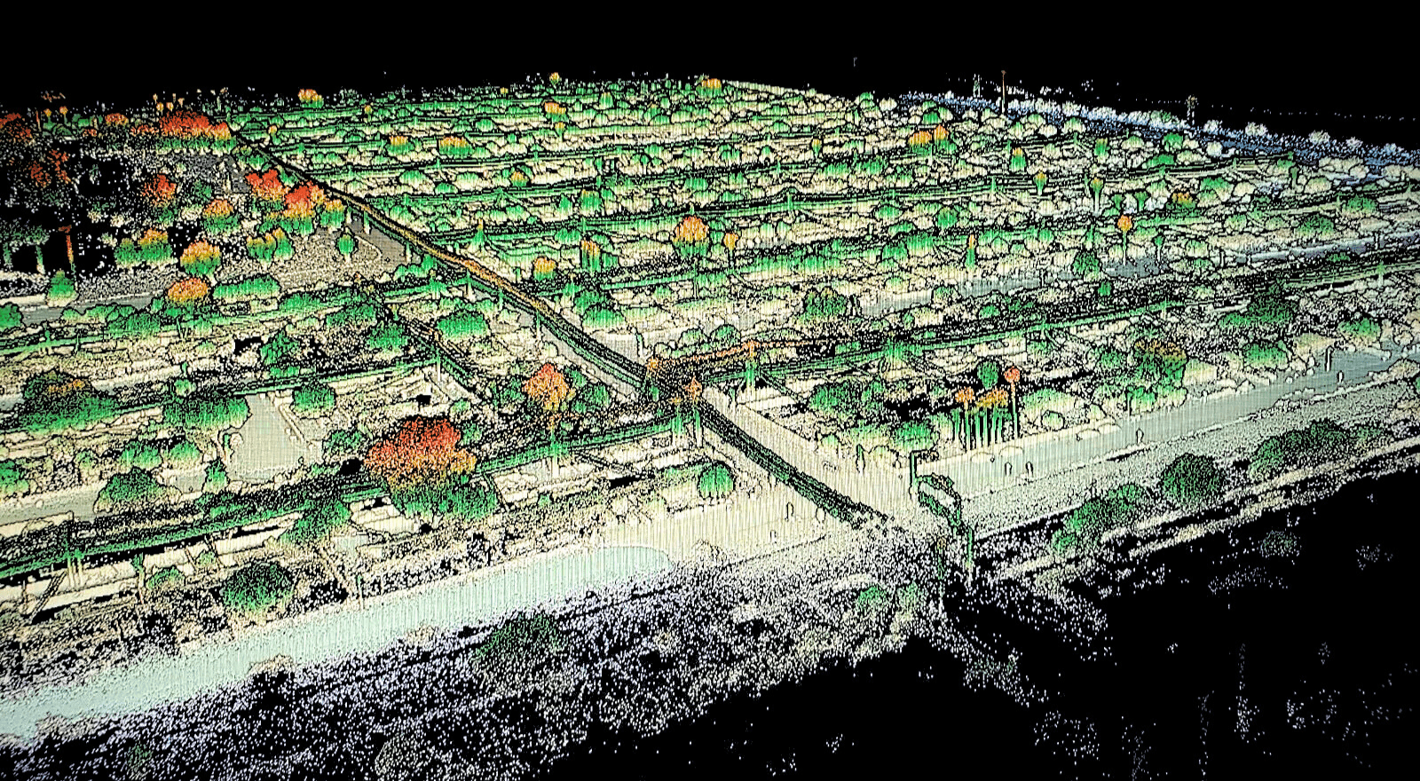
Digital Twins
Leverage digital twins for accurate, real-time construction project insights. Enhance planning, monitoring, and collaboration with Darling's expert services.
Explore →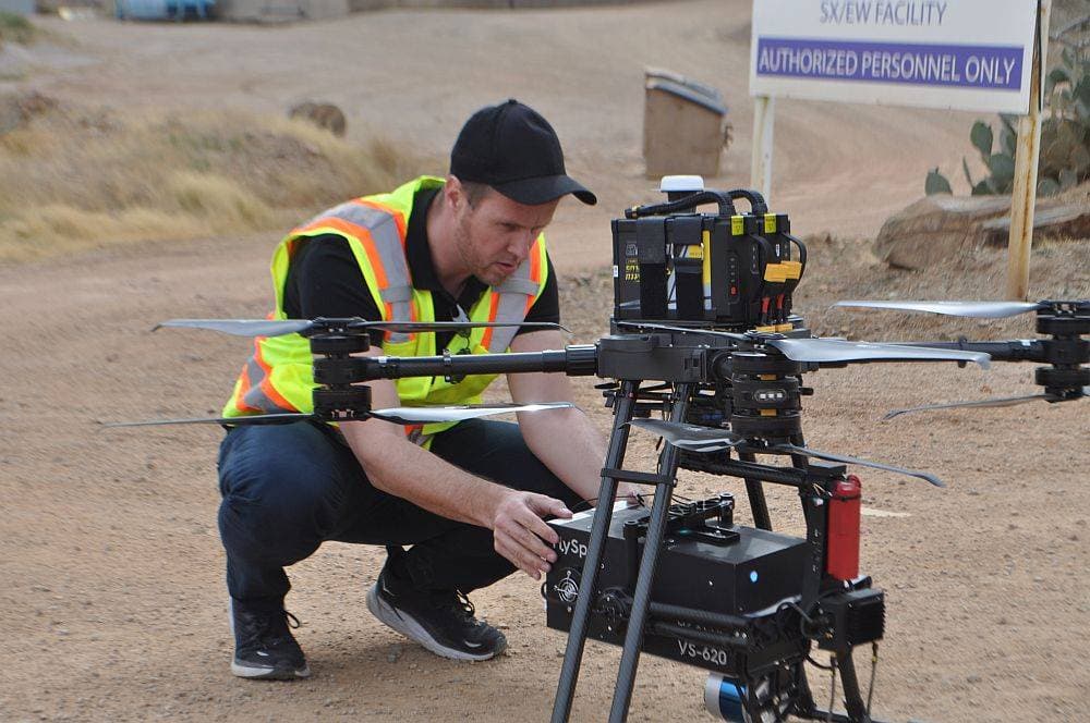
Drone Surveying
Professional drone surveying delivers accurate aerial mapping and topographic data for construction, mining, and land development. FAA-certified pilots, survey-grade accuracy.
Explore →Plan your next capture.
Tell us about the site and the deliverables you need. Our team will recommend the right mix of drone, terrestrial and mobile capture.