
Deliverables
Stockpile Volume Surveys with Drones and LiDAR
Stockpile volume surveys with drone LiDAR and photogrammetry: measured volumes for mines, quarries and construction yards, with reports and maps.
A stockpile volume survey measures how much material sits in each pile on a mine, quarry, plant or construction yard. Drone LiDAR and photogrammetry capture every pile completely in one flight, so stockpile volume is calculated from the whole surface instead of a few walked points, and no one has to climb the piles.
Darling Geomatics measures stockpiles for inventory, month-end reporting and earthwork quantities, using the same base surfaces each time so results stay consistent between surveys.
What you receive
- Stockpile volume report for each pile, with the base surface used
- Orthomosaic and contour map of the stockpile area
- Change in volume since the last survey
- Point cloud and surfaces for your own checks
Where it is used
- Mine and quarry inventory
- Month-end and year-end reporting
- Construction earthwork quantities
- Material balance at processing plants
How accurate is a drone stockpile volume?
Accuracy depends on the base surface, ground control and pile shape. We tie every survey to control and report how the volume was computed, so the number can be checked.
Consistent stockpile volumes month after month
Stockpile volumes change with the base surface used beneath each pile. We agree that base with you, whether a surveyed pad, the original ground or a plane between toe points, and use the same base for every survey, so month-to-month changes reflect material moved, not changes in method. Piles are captured completely by drone, including steep faces that are unsafe to walk.
Each stockpile volume report lists every pile with its volume, the base surface and the survey date, with an orthomosaic and contours of the yard. Point clouds and surfaces are included so your engineers or auditors can check the numbers. On mine sites, stockpile surveys can be part of MineSight, which keeps them aligned with the rest of the site data.
More deliverables
3D Mesh Models
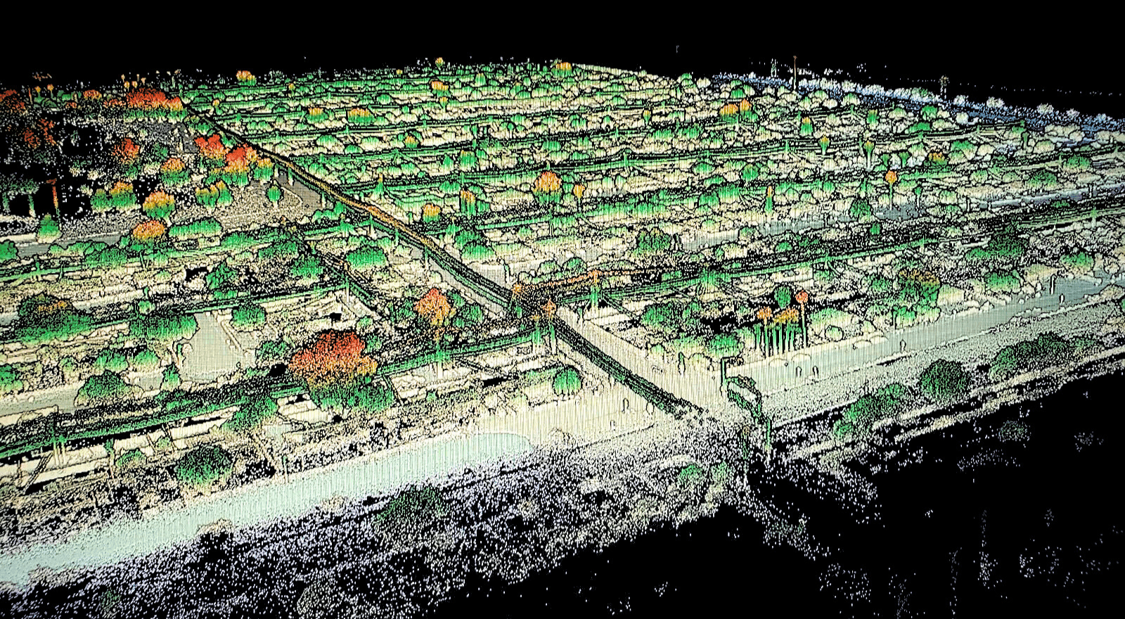
Photo-textured 3D mesh models from drone and laser scan data: realistic, measurable models of sites, buildings and structures to view and share.
Explore →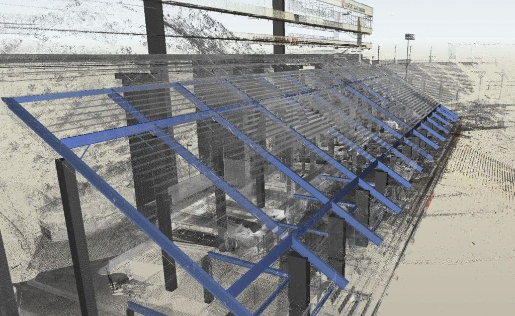
CAD Drawings
Survey CAD drawings and base maps in DWG and DXF: topography, features, utilities and as-built conditions, drawn to your layer standard.
Explore →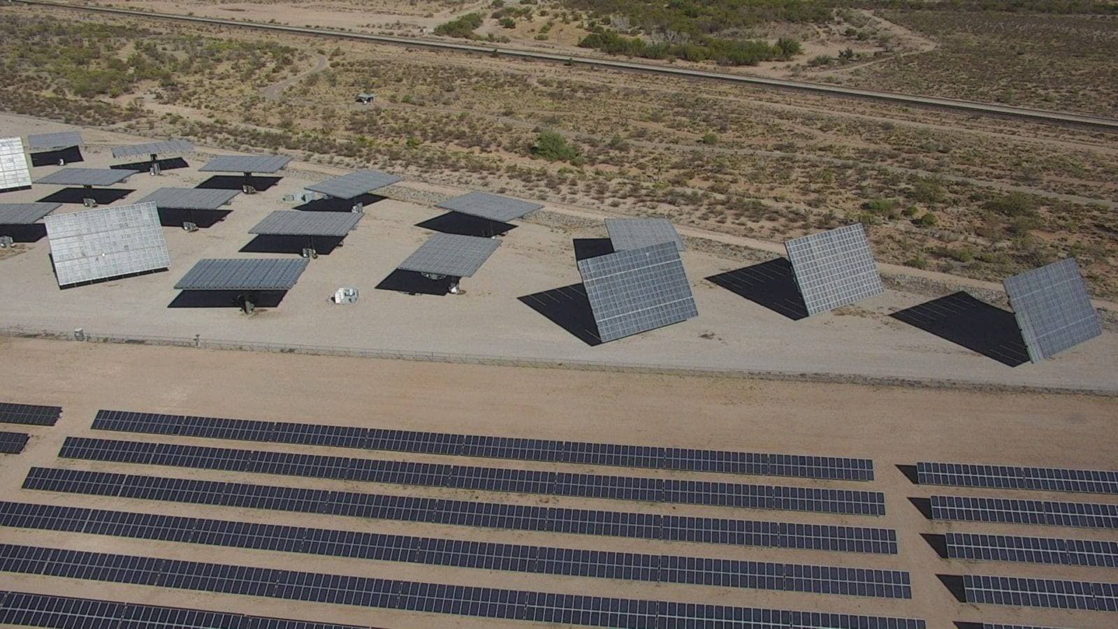
Contour Maps
Contour maps drawn from LiDAR, photogrammetry and ground survey: accurate elevation lines at your interval, delivered in CAD for design and grading.
Explore →Plan your next capture.
Tell us about the site and the deliverables you need. Our team will recommend the right mix of drone, terrestrial and mobile capture.