
Deliverables
Deformation Monitoring Surveys
Deformation monitoring with repeat laser scans and precise survey: measured settlement, movement and change of structures, slopes and tanks.
Deformation monitoring measures how a structure or the ground moves over time: settlement of tanks and foundations, movement of slopes and walls, convergence in tunnels and distortion of steel and concrete. Repeating the same survey and comparing the results shows where change is happening and how fast.
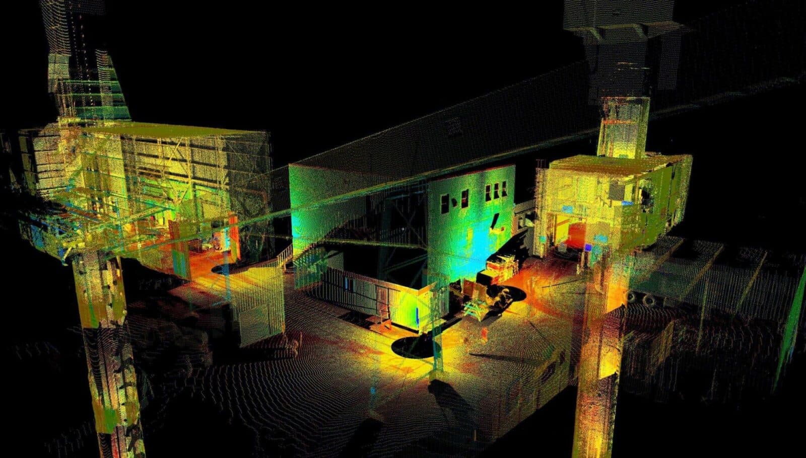
Darling Geomatics runs deformation monitoring with precise survey, terrestrial laser scanning and metrology, using stable control so each survey is compared on the same footing. Laser scans show change across whole surfaces, not only at a few points.
What we monitor
- Tank settlement and shell distortion
- Building and foundation settlement
- Slope and wall movement on mine and civil sites
- Tunnel convergence
- Machinery and turbine alignment in plants
What you receive
- Comparison reports with measured movement at each point or surface
- Color deviation maps from repeat laser scans
- Trends over time across monitoring rounds
- Survey data for your engineer's analysis
How often should monitoring be repeated?
It depends on the structure and the risk. Your engineer sets the schedule; we make each survey repeatable so the results can be compared.
Making each survey comparable
Deformation monitoring only works if every survey is measured the same way. We establish stable control outside the area that may move, check it each round, and measure targets and surfaces from the same setups wherever possible. That way, differences between surveys reflect real movement of the structure or ground, not changes in how it was measured.
Precise survey gives sub-centimeter results at specific targets; laser scanning shows the pattern of movement across whole walls, tank shells, slopes and tunnels. Combining them gives engineers both: reliable numbers at critical points and a color map of where change is concentrated. Results from each round are added to the history, so trends are visible early.
Reports are written for the engineer who acts on them: clear tables, plots and maps, with the method and accuracy stated.
More deliverables
3D Mesh Models
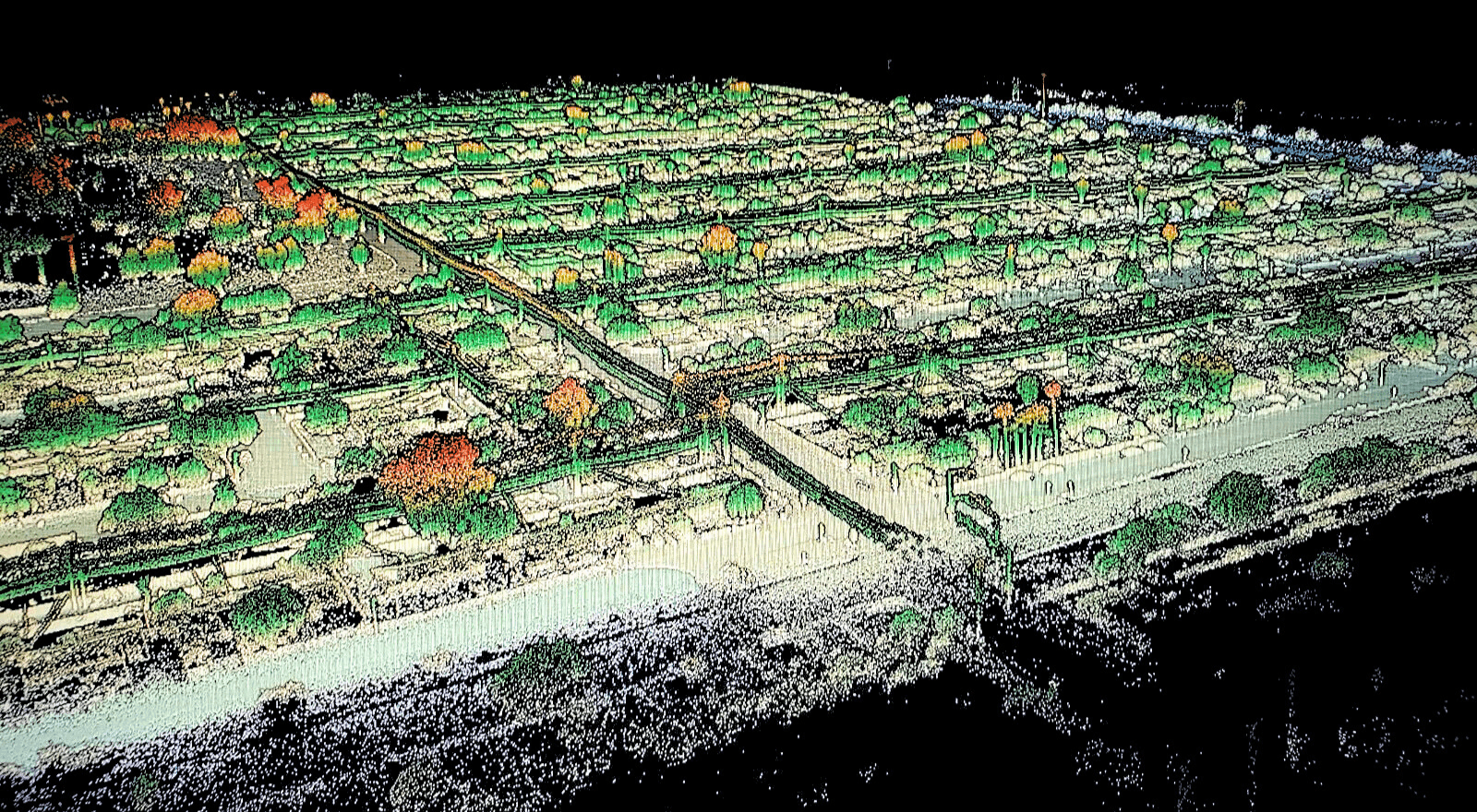
Photo-textured 3D mesh models from drone and laser scan data: realistic, measurable models of sites, buildings and structures to view and share.
Explore →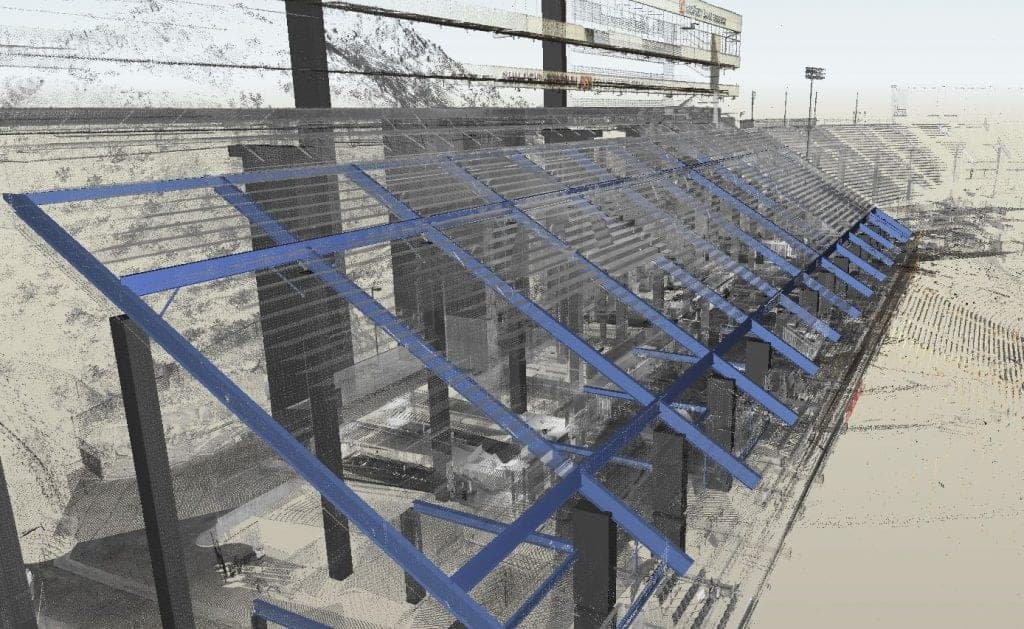
CAD Drawings
Survey CAD drawings and base maps in DWG and DXF: topography, features, utilities and as-built conditions, drawn to your layer standard.
Explore →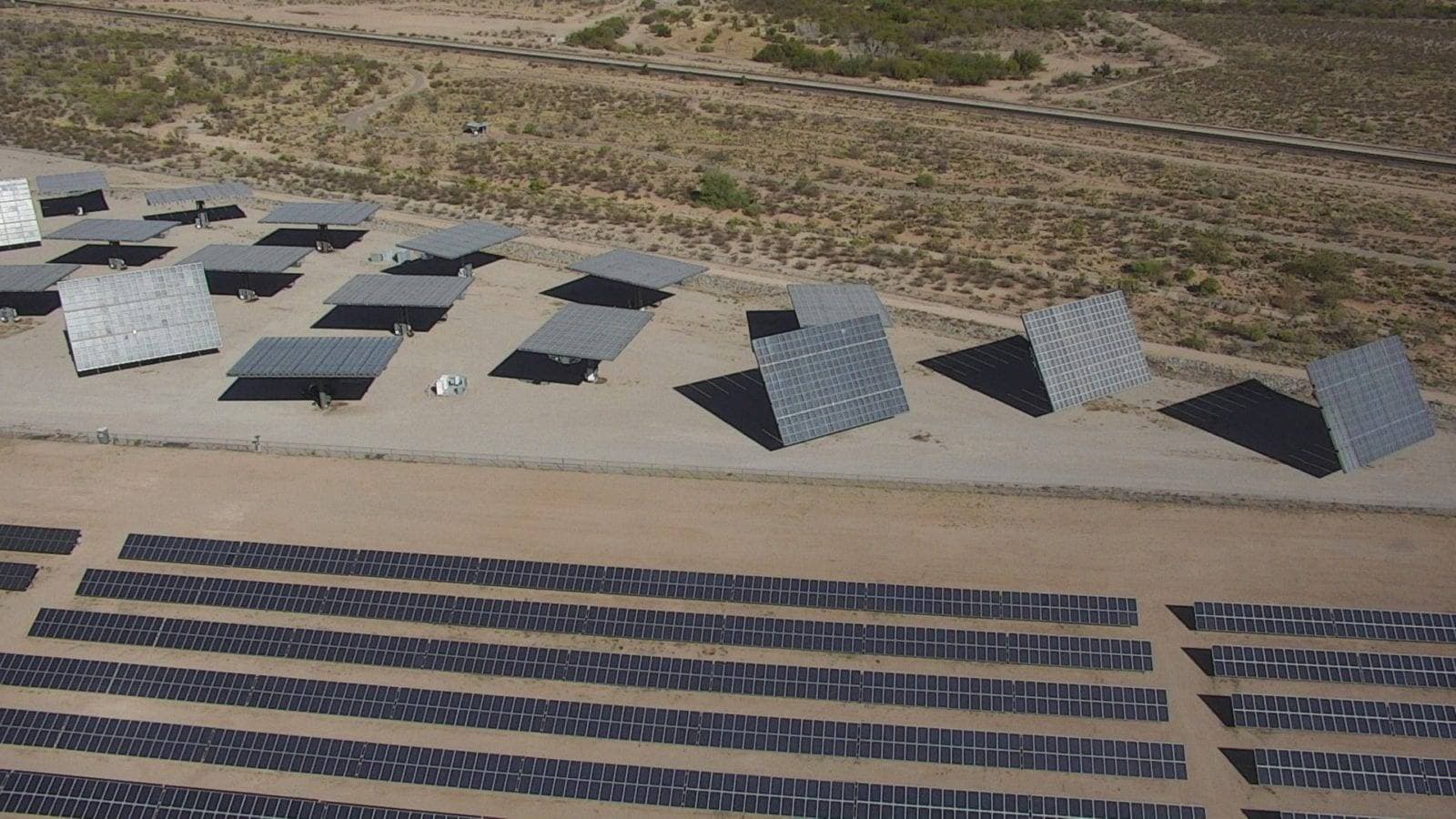
Contour Maps
Contour maps drawn from LiDAR, photogrammetry and ground survey: accurate elevation lines at your interval, delivered in CAD for design and grading.
Explore →Plan your next capture.
Tell us about the site and the deliverables you need. Our team will recommend the right mix of drone, terrestrial and mobile capture.