
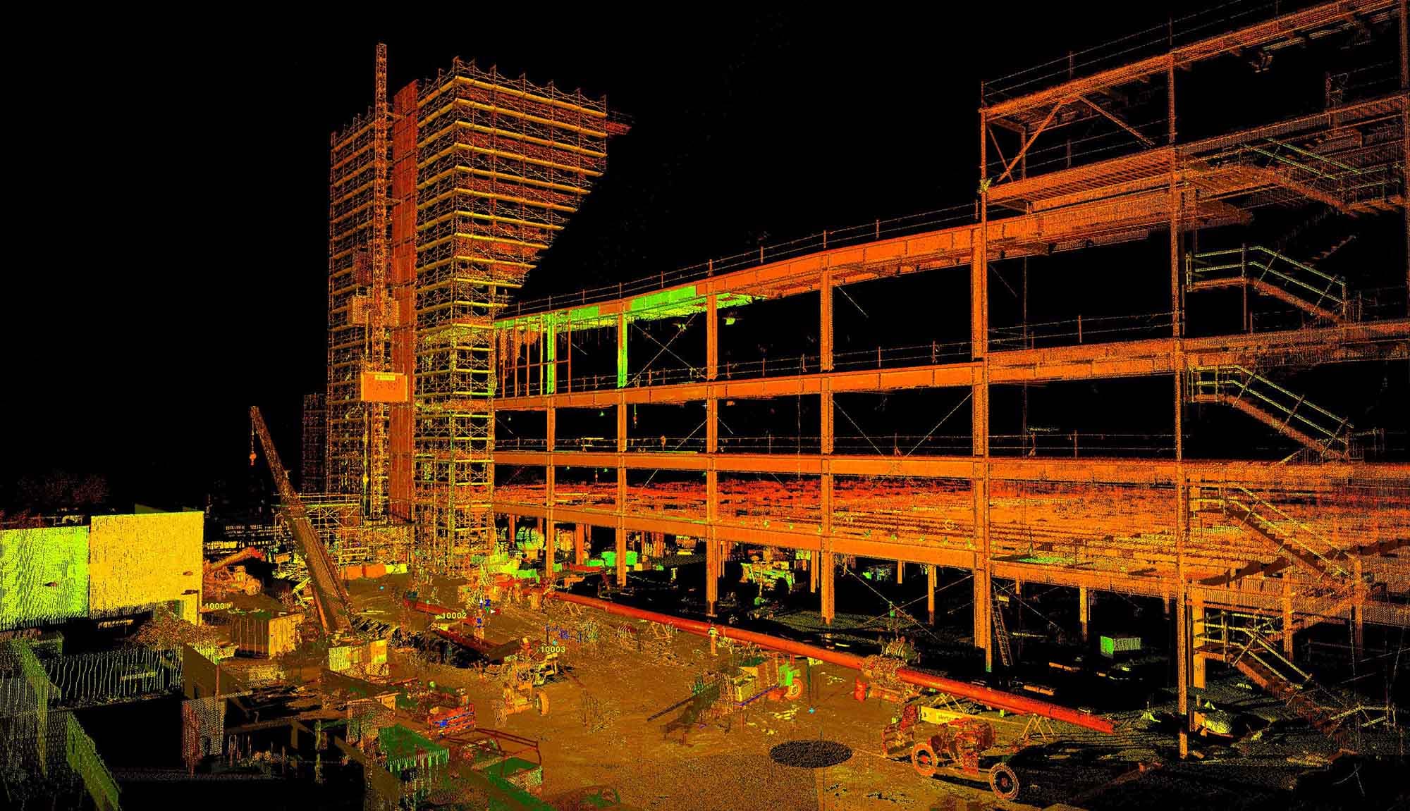
Deliverables
Survey Deliverables: The Data Your Project Receives
Survey deliverables from Darling Geomatics: point clouds, orthomosaics, topographic surveys, contours, surfaces, CAD, BIM and 3D models for your team.
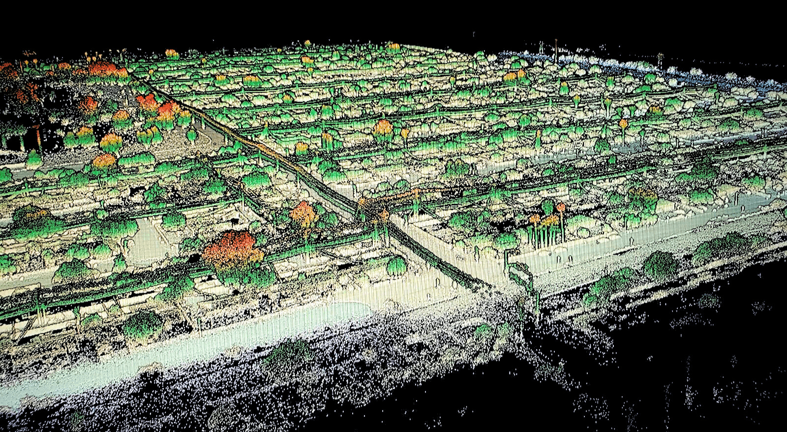
3D Mesh Models
Photo-textured 3D mesh models from drone and laser scan data: realistic, measurable models of sites, buildings and structures to view and share.
Explore →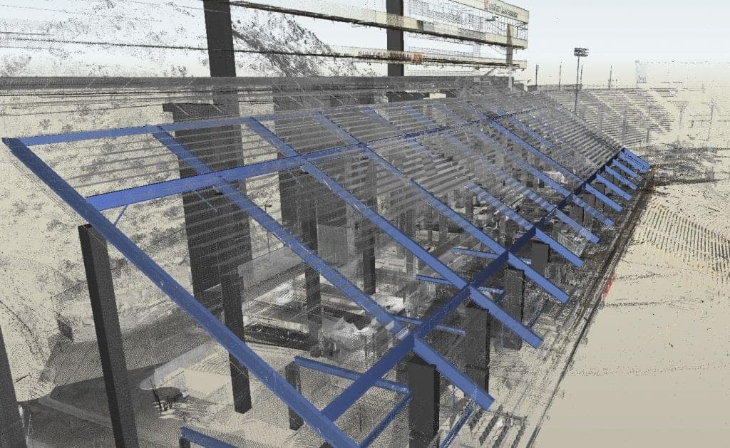
CAD Drawings
Survey CAD drawings and base maps in DWG and DXF: topography, features, utilities and as-built conditions, drawn to your layer standard.
Explore →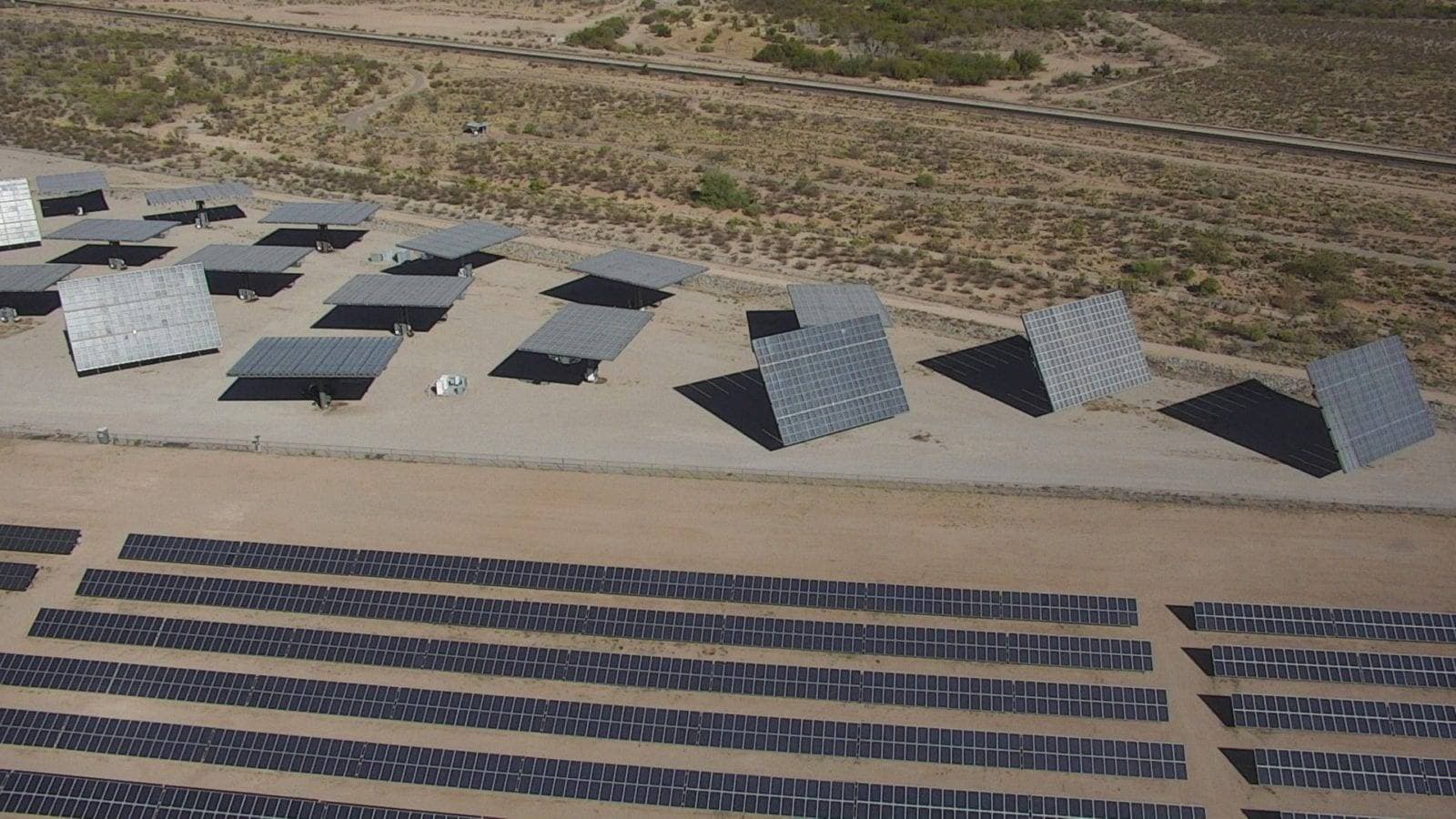
Contour Maps
Contour maps drawn from LiDAR, photogrammetry and ground survey: accurate elevation lines at your interval, delivered in CAD for design and grading.
Explore →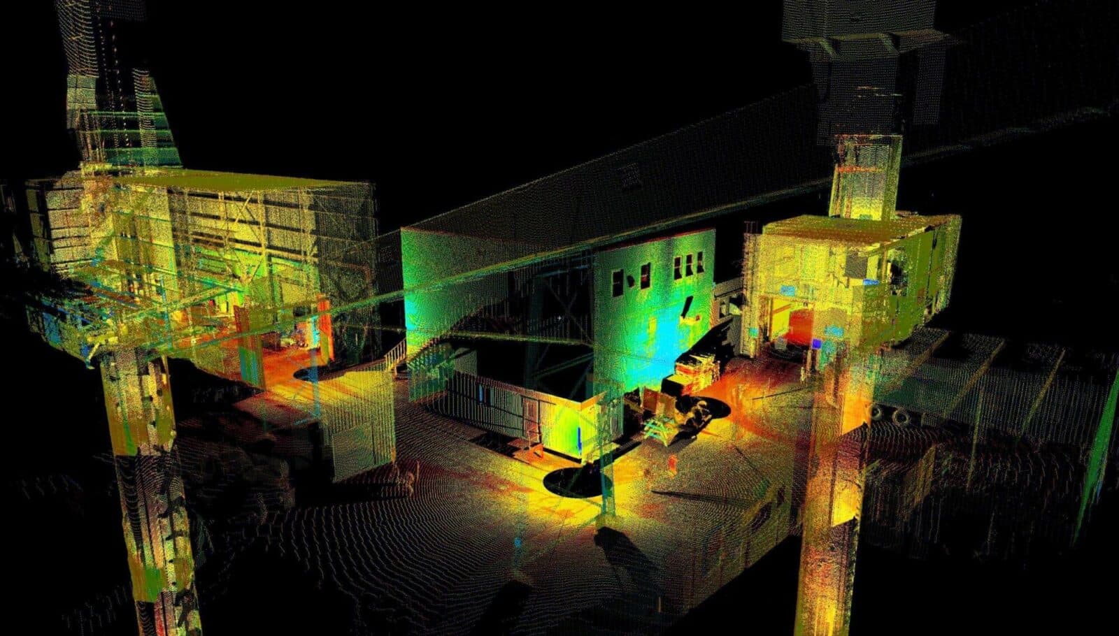
Deformation Monitoring
Deformation monitoring with repeat laser scans and precise survey: measured settlement, movement and change of structures, slopes and tanks.
Explore →Digital Terrain Models
Digital terrain models from LiDAR and ground survey: bare-earth surfaces for design, earthwork, drainage and volume calculations, in your format.
Explore →
LandXML Surfaces
LandXML surfaces, alignments and points from your survey, ready to load into Civil 3D, machine control and other civil design software.
Explore →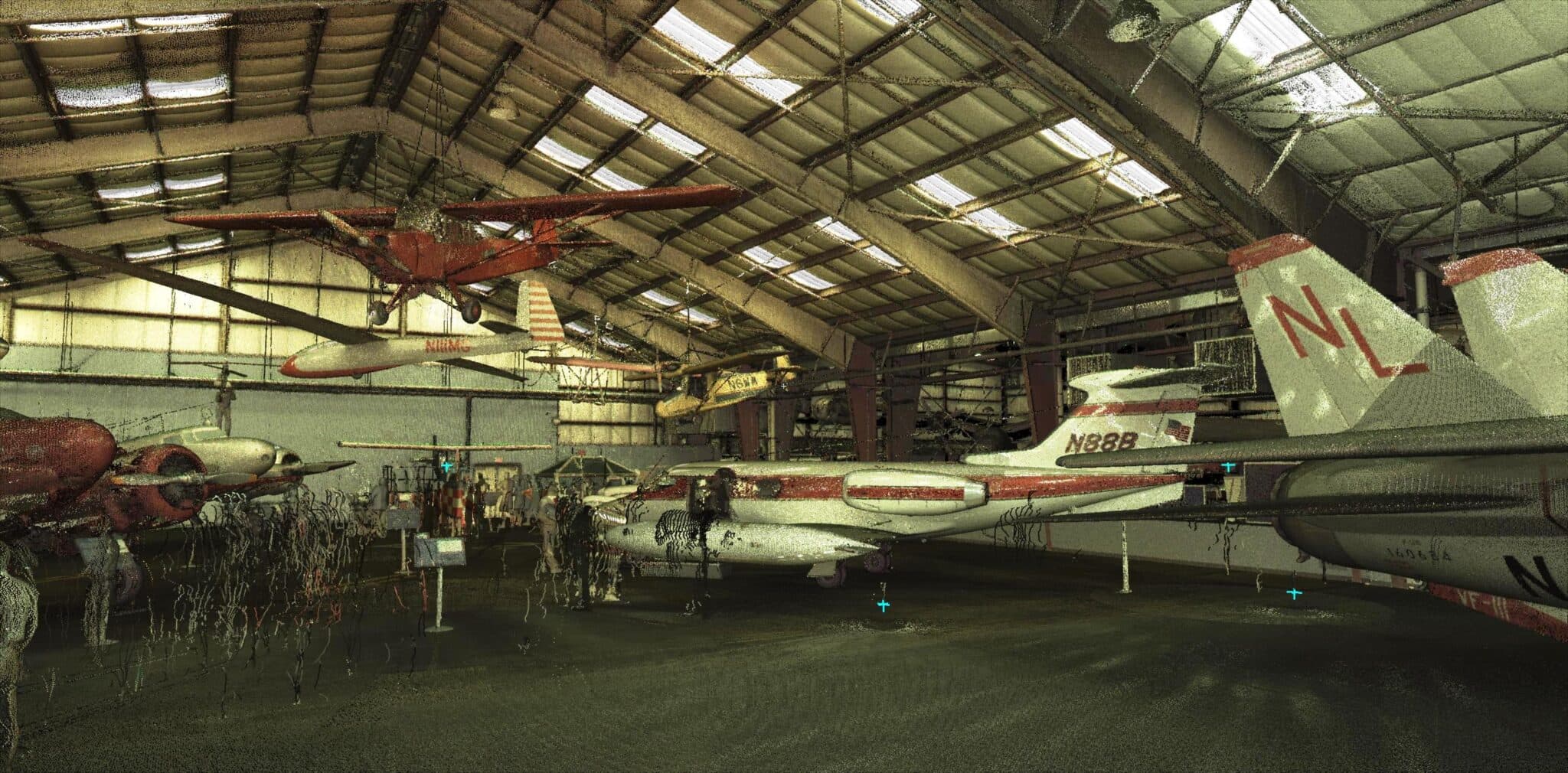
Orthomosaics
Survey-grade orthomosaic maps from drone imagery: true-to-scale aerial photos for design, planning, progress tracking and records, delivered as GeoTIFF.
Explore →Stockpile Volumes
Stockpile volume surveys with drone LiDAR and photogrammetry: measured volumes for mines, quarries and construction yards, with reports and maps.
Explore →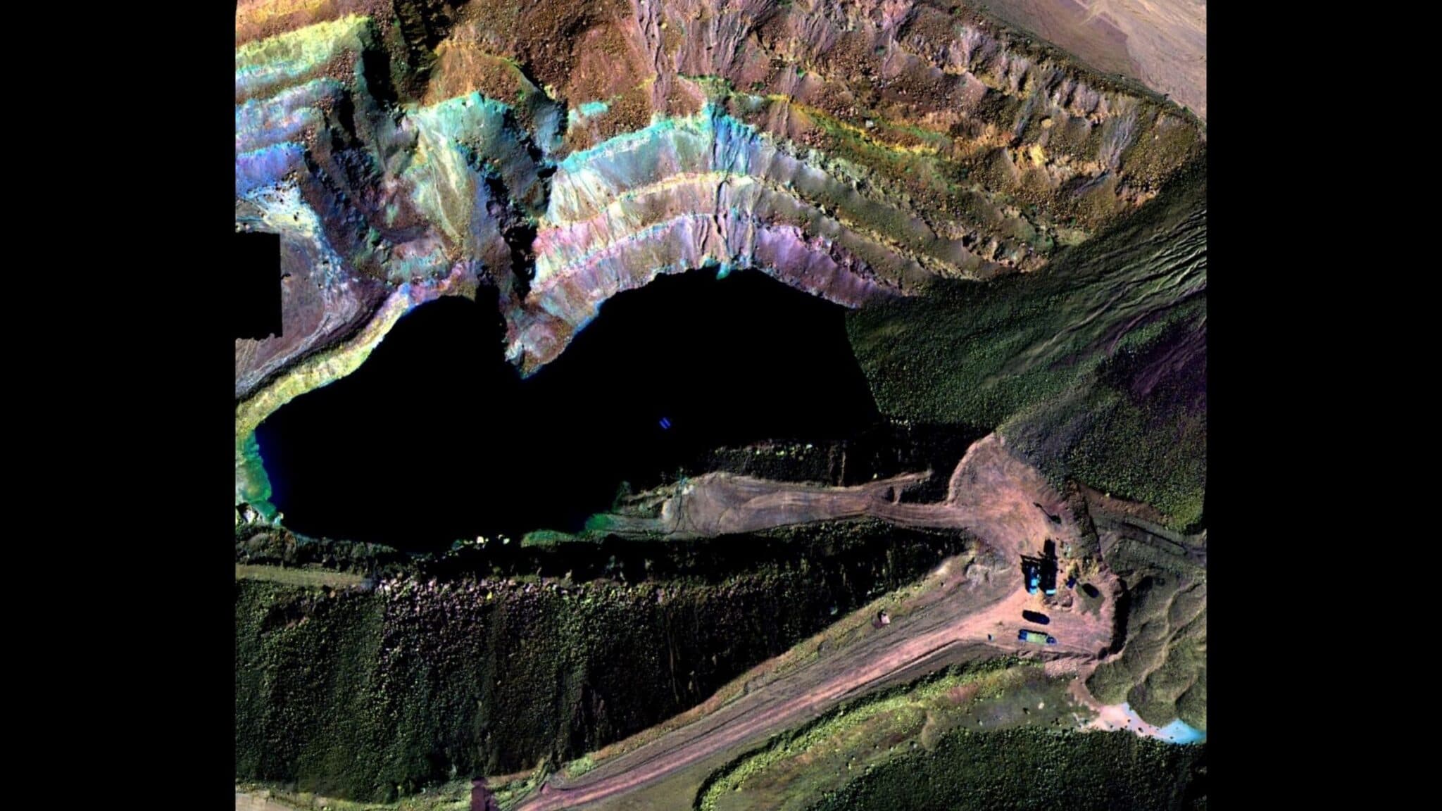
Topographic Surveys
Topographic survey services for design and permitting: ground, drone LiDAR and photogrammetry topography with contours, surfaces and CAD.
Explore →Survey deliverables are what a project actually receives from a survey: the files, drawings, models and reports that designers, contractors and owners work from. Darling Geomatics captures sites with drone LiDAR and photogrammetry, terrestrial and mobile laser scanning and conventional survey, then delivers the data in the form each team needs.
Every deliverable starts from the same registered, survey-controlled data, so a contour map, a CAD base map and a 3D model of one site agree with each other. Tell us what the next step of your project is, and we will recommend the survey deliverables that support it.
Choosing the right survey deliverables
- Design and permitting: topographic surveys, contour maps, digital terrain models and CAD drawings
- Civil and earthwork: LandXML surfaces, cut and fill comparisons and stockpile volume reports
- Buildings and plants: point clouds, scan to BIM models, as-built drawings and 3D meshes
- Monitoring: repeat surveys and deformation monitoring reports that show change over time
- Visual context: orthomosaics and 3D models that everyone on the team can read
Plan your next capture.
Tell us about the site and the deliverables you need. Our team will recommend the right mix of drone, terrestrial and mobile capture.