
Services
GNSS Surveys and Survey Control
GNSS surveys and survey control from Darling Geomatics: RTK and static GPS control that ties every scan, drone flight and drawing to the same coordinates.
A GNSS survey uses satellite positioning (GPS and other systems) to measure positions on the ground. GNSS survey control is the backbone of every other survey on a project: drone flights, laser scans, topographic surveys and construction staking all tie to the same control points, so their results line up.
Darling Geomatics sets GNSS survey control with real-time kinematic (RTK) and static methods and ties it to the coordinate system and datum your project uses.
GNSS survey services
- Project control networks for design and construction
- Ground control for drone LiDAR and photogrammetry
- Control for terrestrial and mobile laser scanning
- RTK topographic and feature collection
- Ties to public control and project datums
What you receive
- Control coordinates with descriptions and photos
- Survey report on methods and datum
- Control drawings for your plans
Why does survey control matter for drone and scan data?
Without good control, a drone map or laser scan can be shifted or distorted. Control ties it to real coordinates so it agrees with design and other surveys.
Choosing RTK or static GNSS
RTK GNSS gives positions in real time and is efficient for topography, feature collection and setting ground control for drone flights. Static GNSS records longer sessions at each point and is used where the highest accuracy and reliability are needed, such as primary project control and ties to public monuments. Many projects use both: static for the backbone and RTK for the detail.
Whatever the method, a GNSS survey is only useful if everyone knows its datum, projection and units. We document them in a control report, with point descriptions and photos, so designers, contractors and later surveyors can find the control and use the same coordinates.
Where satellite visibility is poor, such as under canopy, beside tall structures or underground, GNSS control is carried in with conventional total station survey so every part of the project shares the same coordinates.
More services
3D Scanning
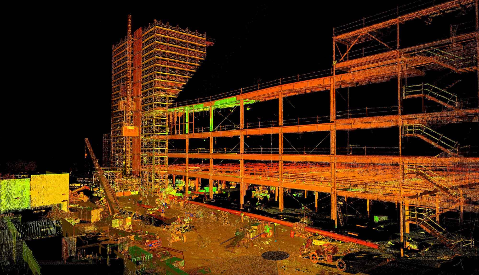
Darling Geomatics delivers certified point cloud surveys and 3D LiDAR scanning using terrestrial LiDAR and drone integration for complete project accuracy.
Explore →Construction Staking
Construction staking and layout from Darling Geomatics: control, grades and structure layout that put the design on the ground, with as-built checks.
Explore →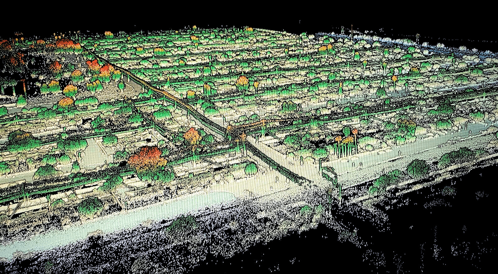
Digital Twins
Leverage digital twins for accurate, real-time construction project insights. Enhance planning, monitoring, and collaboration with Darling's expert services.
Explore →Plan your next capture.
Tell us about the site and the deliverables you need. Our team will recommend the right mix of drone, terrestrial and mobile capture.