
Deliverables
LandXML Surfaces and Civil 3D Data
LandXML surfaces, alignments and points from your survey, ready to load into Civil 3D, machine control and other civil design software.
LandXML is the open exchange format for civil survey data. A LandXML file carries surfaces, breaklines, alignments, parcels and points in a way that Civil 3D and other civil design, grading and machine control software can read directly, without redrawing.
Darling Geomatics delivers survey surfaces as LandXML so your engineers and contractors can start designing from them the day they arrive, with the same coordinates as the field survey.
What a LandXML delivery can include
- Existing ground surface (TIN) from the topographic survey or LiDAR
- Breaklines at curbs, edges, ridges and channels
- Survey points with descriptions
- Proposed surfaces for comparison, when you provide the design
Why it matters
- No retyping or digitizing of survey data
- Surfaces load directly into design and machine control software
- One surface for designers and contractors, so quantities agree
- Repeat surveys can be compared surface to surface
Do you also deliver CAD drawings?
Yes. Most projects receive LandXML surfaces together with CAD drawings, so the surface and the linework come from the same survey.
Getting surfaces into design and construction
Design teams lose time when survey data arrives as drawings that have to be rebuilt into surfaces, or as surfaces in a format their software reads badly. LandXML avoids both. The surface, its breaklines and boundary, and the survey points travel in one file that Civil 3D and most civil design and grading packages import directly.
For earthwork, a LandXML existing ground surface can be compared with the design surface to compute cut and fill, and with later surveys to measure quantities moved. Contractors can use the same surfaces for machine control, so the survey, the design and the equipment in the field all work from one model of the ground. Darling Geomatics delivers LandXML in your project coordinate system and units.
Point and surface names, descriptions and layers follow your conventions, so the files are easy to find and use in your design templates.
More deliverables
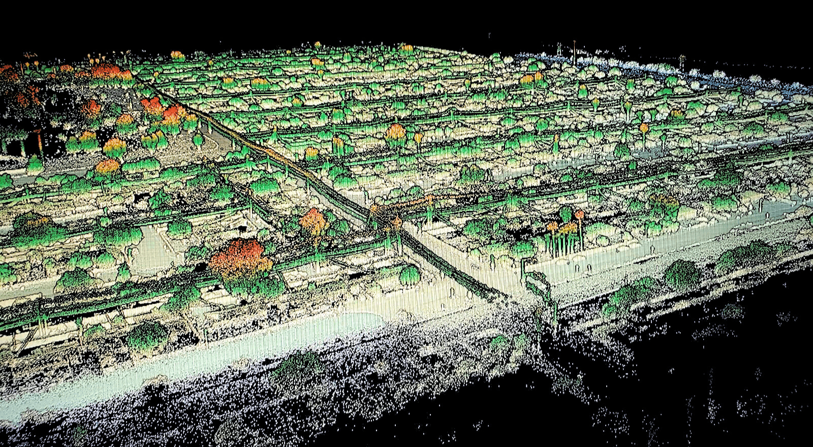
3D Mesh Models
Photo-textured 3D mesh models from drone and laser scan data: realistic, measurable models of sites, buildings and structures to view and share.
Explore →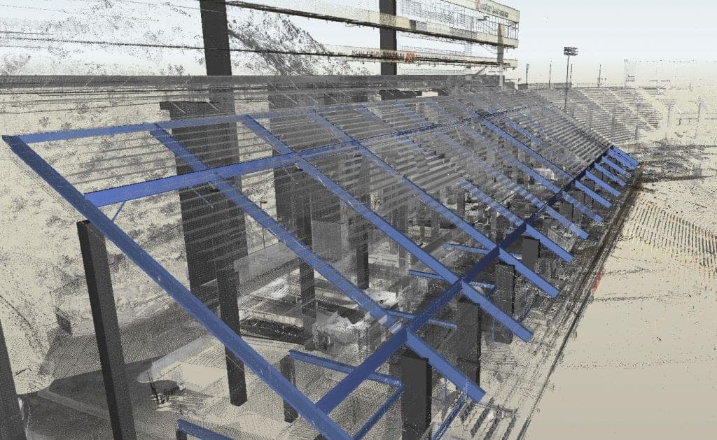
CAD Drawings
Survey CAD drawings and base maps in DWG and DXF: topography, features, utilities and as-built conditions, drawn to your layer standard.
Explore →
Contour Maps
Contour maps drawn from LiDAR, photogrammetry and ground survey: accurate elevation lines at your interval, delivered in CAD for design and grading.
Explore →Plan your next capture.
Tell us about the site and the deliverables you need. Our team will recommend the right mix of drone, terrestrial and mobile capture.