
Service Areas
Surveying and LiDAR Mapping in Colorado
Colorado surveying, drone LiDAR and 3D scanning for mining, utility, energy and construction projects across the state.
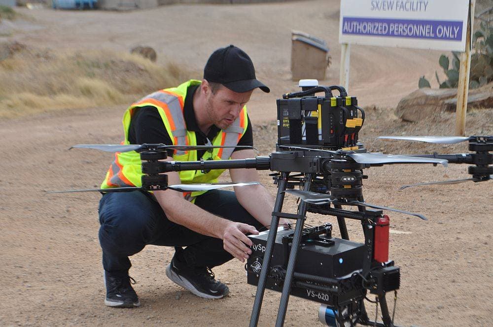
Colorado is one of Darling Geomatics' service areas. We provide drone LiDAR, 3D laser scanning and surveying for mining, utility, energy and construction projects across Colorado.
Colorado's mountain terrain makes drone LiDAR especially valuable: it captures steep and forested ground that is slow and risky to survey on foot, and it measures the ground beneath vegetation.
Colorado services
- Drone LiDAR and topographic mapping
- Mine site mapping and underground mine scanning
- Utility construction and corridor surveys
- 3D laser scanning of facilities
- Deformation monitoring of slopes and structures
Deliverables
- Digital terrain models and contours
- Point clouds and 3D models
- LandXML surfaces and CAD drawings
Colorado terrain, measured from the air
Drone LiDAR is well suited to Colorado: it measures steep slopes, ridgelines and forested ground quickly and from a safe distance, and its laser pulses reach the ground through gaps in the canopy. That makes it practical for utility corridors, mine sites, development on hillsides and slope monitoring, where ground crews would be slow or exposed.
We combine aerial data with ground survey control and terrestrial laser scanning of facilities, and deliver digital terrain models, contours, LandXML surfaces and point clouds for your engineers. Repeat surveys over the same control support deformation monitoring of slopes and structures over time.
Darling Geomatics serves Colorado from our Tucson office, mobilizing crews for each project and processing data in-house. Typical deliverables include drone LiDAR point clouds, bare-earth terrain models, contour maps, LandXML surfaces, CAD drawings and monitoring reports for slopes and structures. Call (520) 298-2725 or request a proposal to discuss your Colorado project.
Can drone LiDAR measure the ground under trees in Colorado?
Often, yes. LiDAR pulses pass through gaps in the canopy and reach the ground, which photos cannot see.
Do you monitor slopes in Colorado?
Yes. Repeat drone LiDAR and ground surveys over the same control show how slopes and structures move over time.
More service areas
Arizona
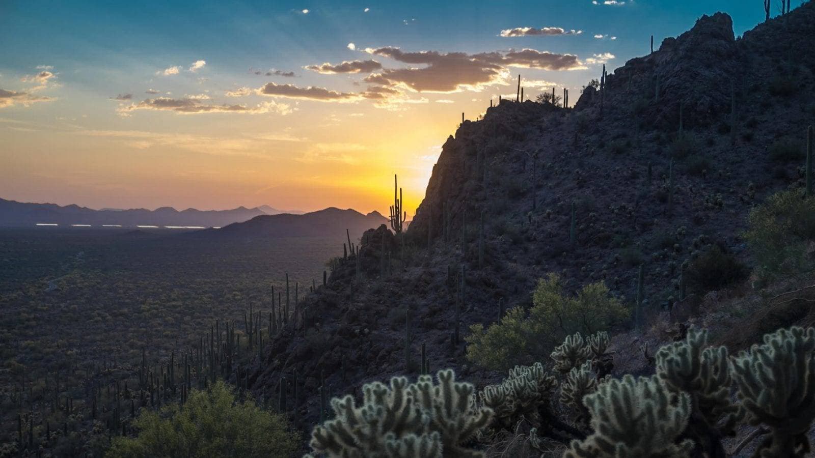
Arizona surveying from Darling Geomatics in Tucson: ALTA, topographic and mine surveys, drone LiDAR and 3D laser scanning statewide.
Explore →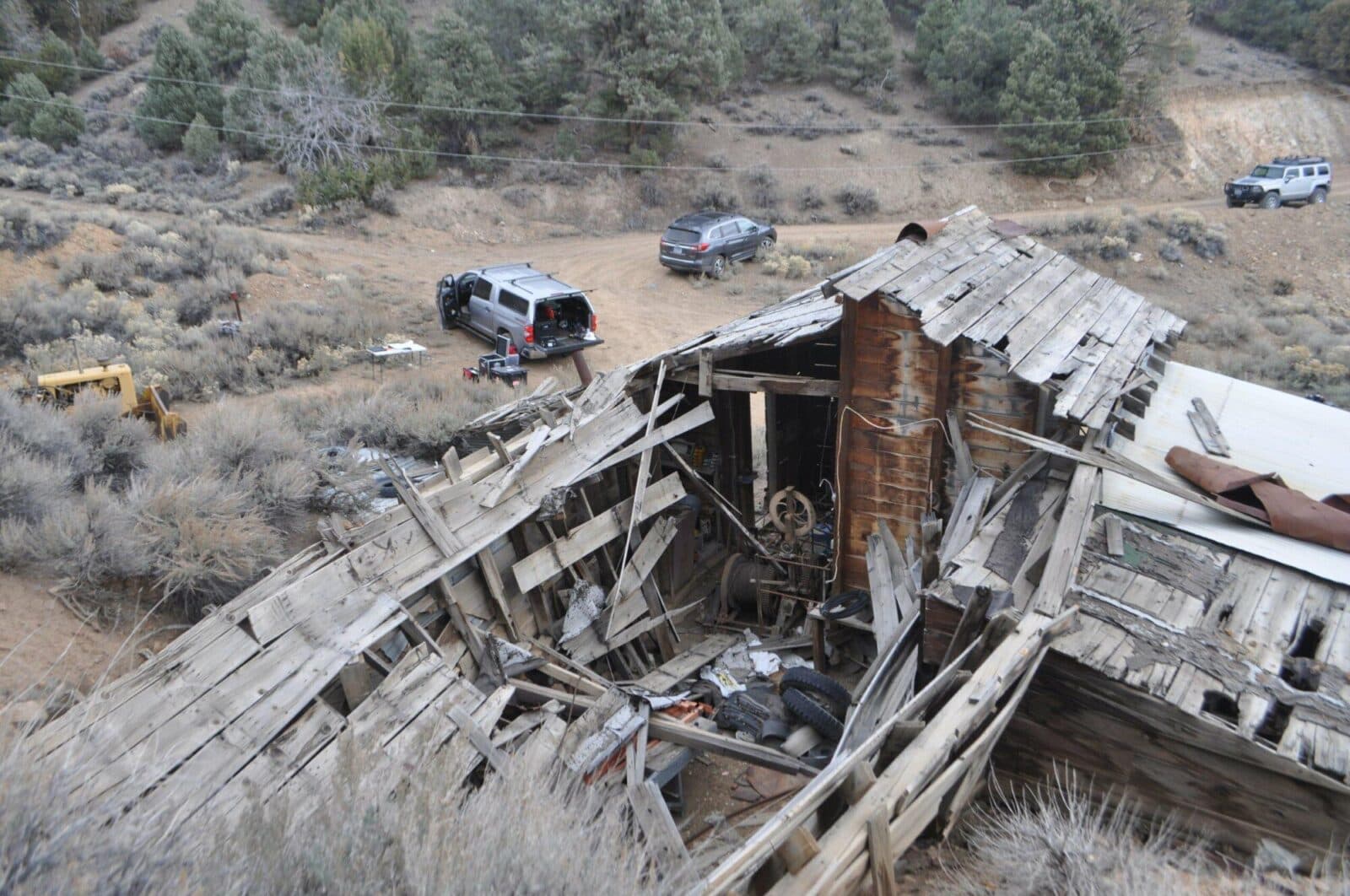
Nevada
Nevada surveying and mine mapping with drones and LiDAR: underground mine scanning, stockpile volumes, topography and 3D laser scanning.
Explore →New Mexico
New Mexico surveying, drone LiDAR and 3D laser scanning for energy, mining, utility and development projects, from Darling Geomatics.
Explore →Plan your next capture.
Tell us about the site and the deliverables you need. Our team will recommend the right mix of drone, terrestrial and mobile capture.