
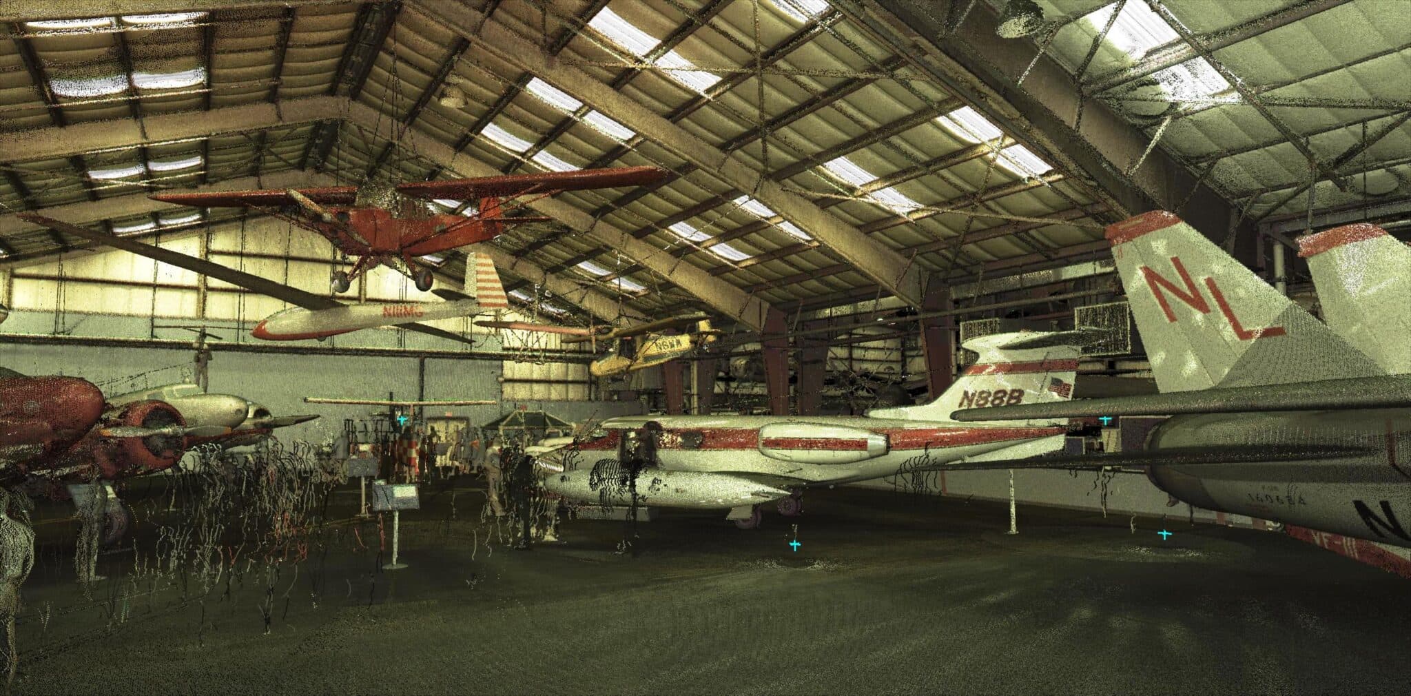
Service Areas
Surveying Service Areas Across the Southwest
Surveying service areas of Darling Geomatics: Tucson, Phoenix and Arizona, New Mexico, Nevada, Southern California, Colorado and projects nationwide.
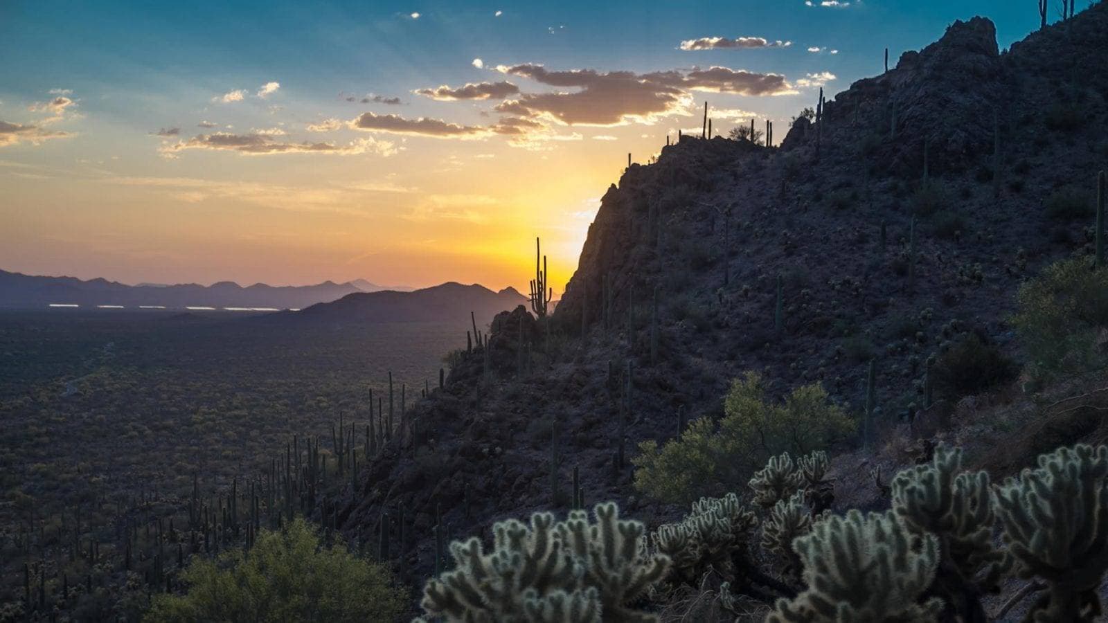
Arizona
Arizona surveying from Darling Geomatics in Tucson: ALTA, topographic and mine surveys, drone LiDAR and 3D laser scanning statewide.
Explore →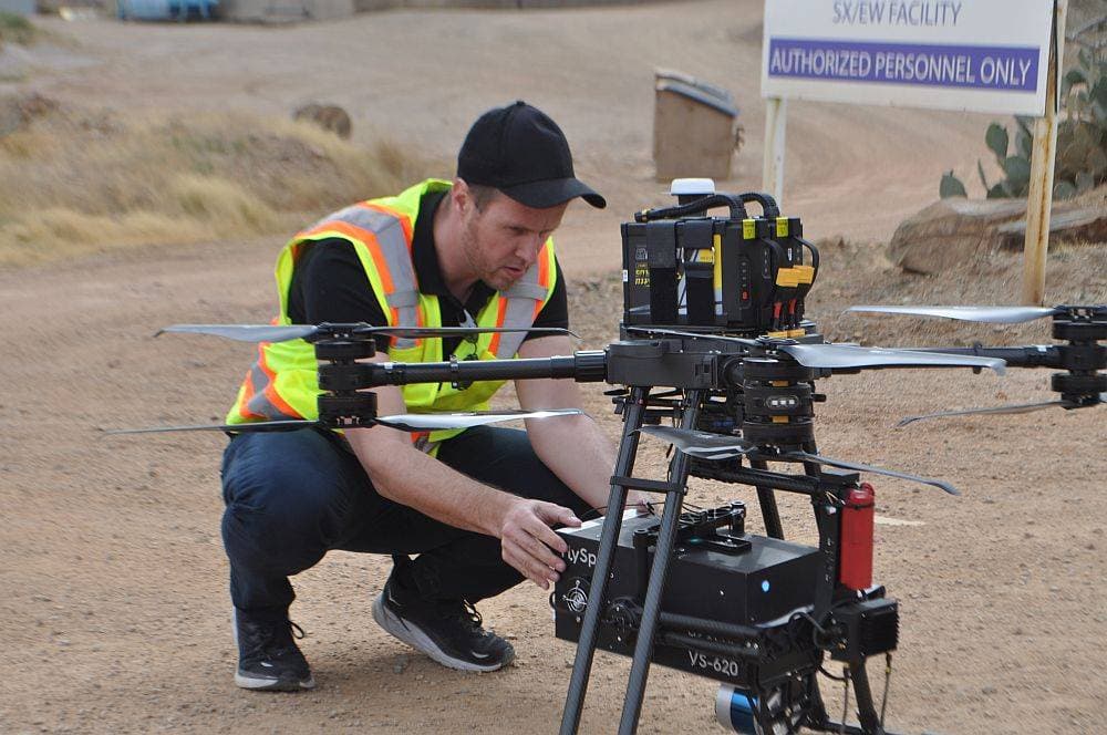
Colorado
Colorado surveying, drone LiDAR and 3D scanning for mining, utility, energy and construction projects across the state.
Explore →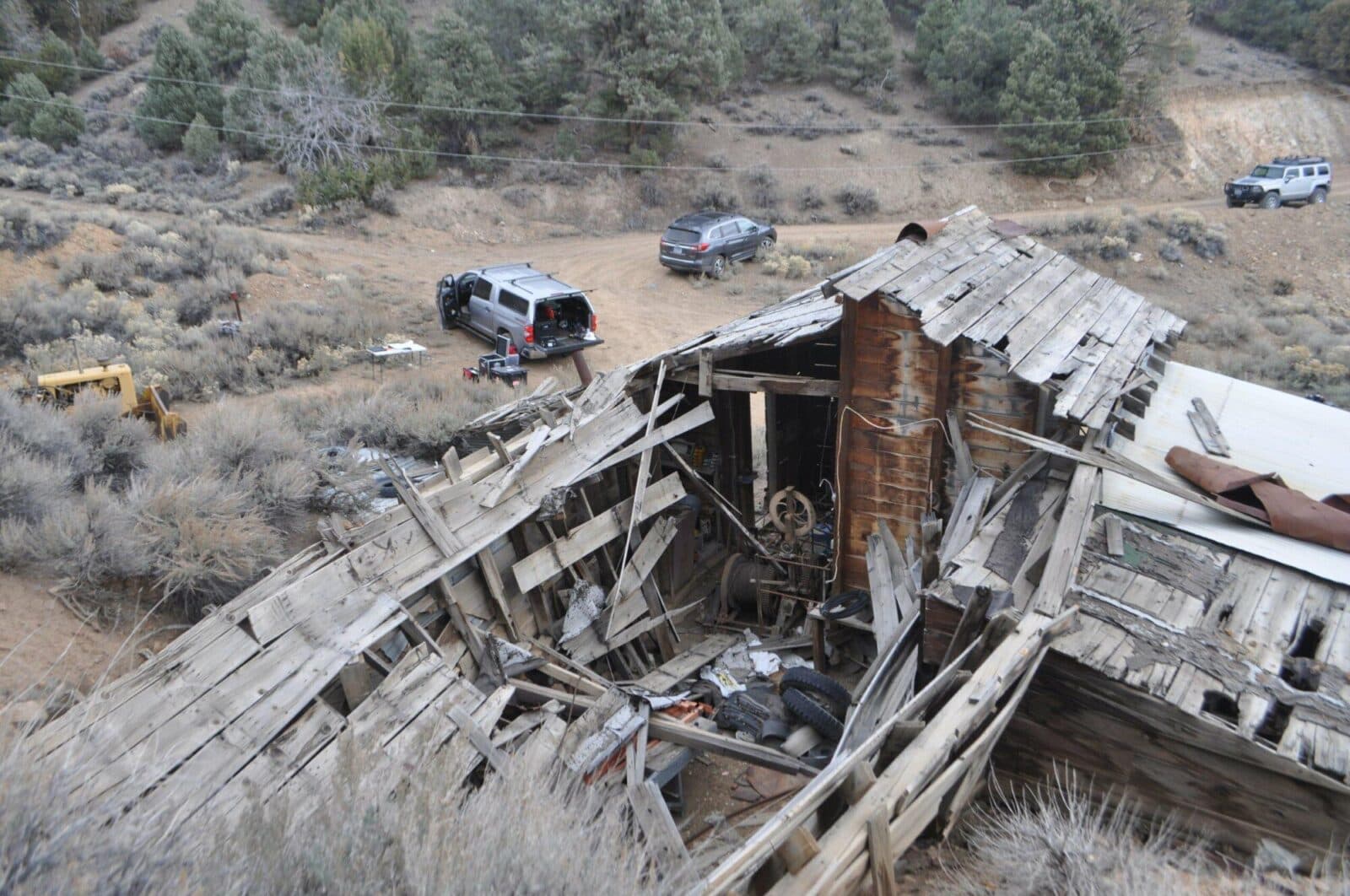
Nevada
Nevada surveying and mine mapping with drones and LiDAR: underground mine scanning, stockpile volumes, topography and 3D laser scanning.
Explore →New Mexico
New Mexico surveying, drone LiDAR and 3D laser scanning for energy, mining, utility and development projects, from Darling Geomatics.
Explore →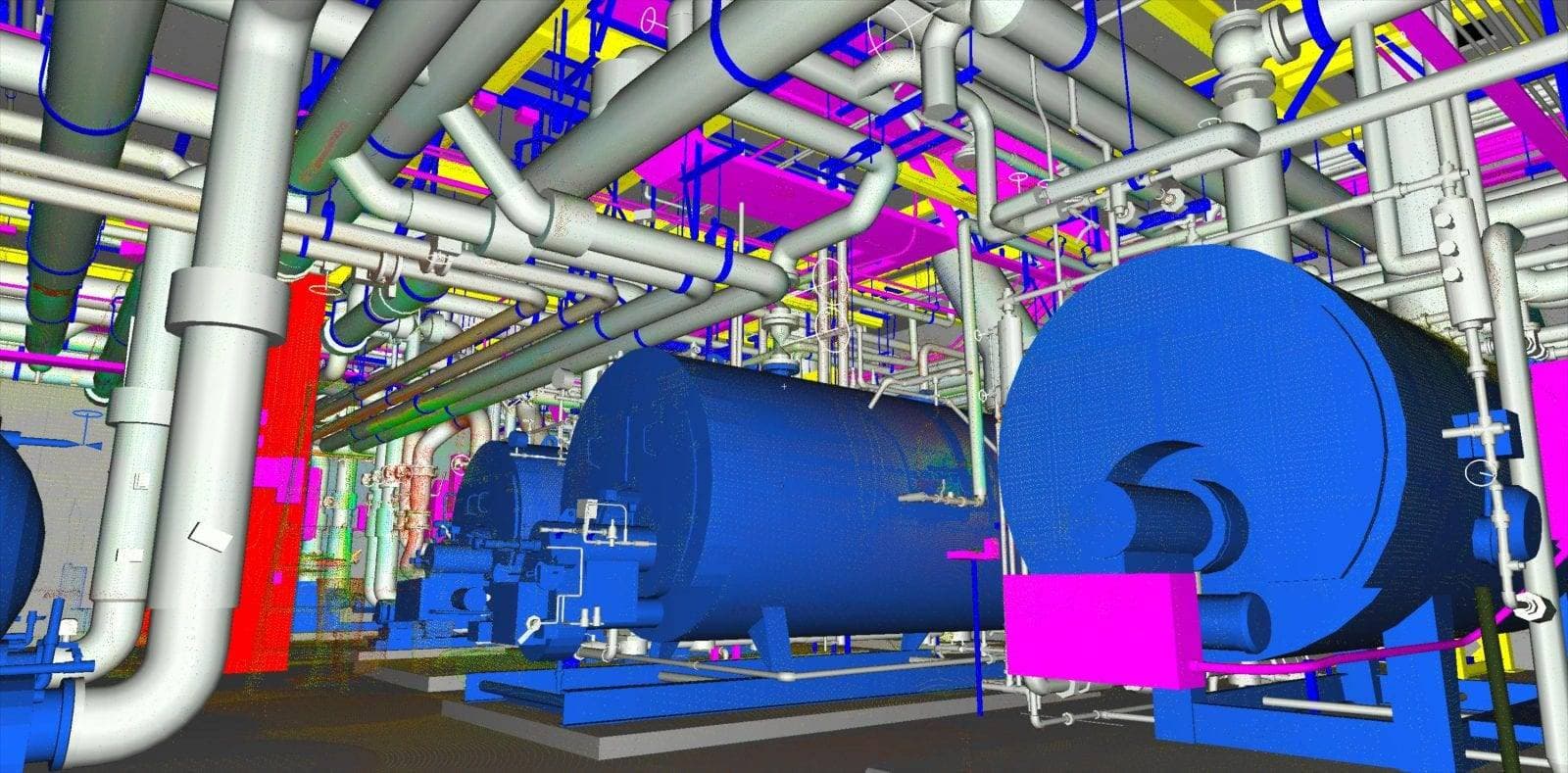
Phoenix
Surveying, drone LiDAR and 3D laser scanning for Phoenix and Central Arizona projects: topography, as-builts, scan to BIM and construction verification.
Explore →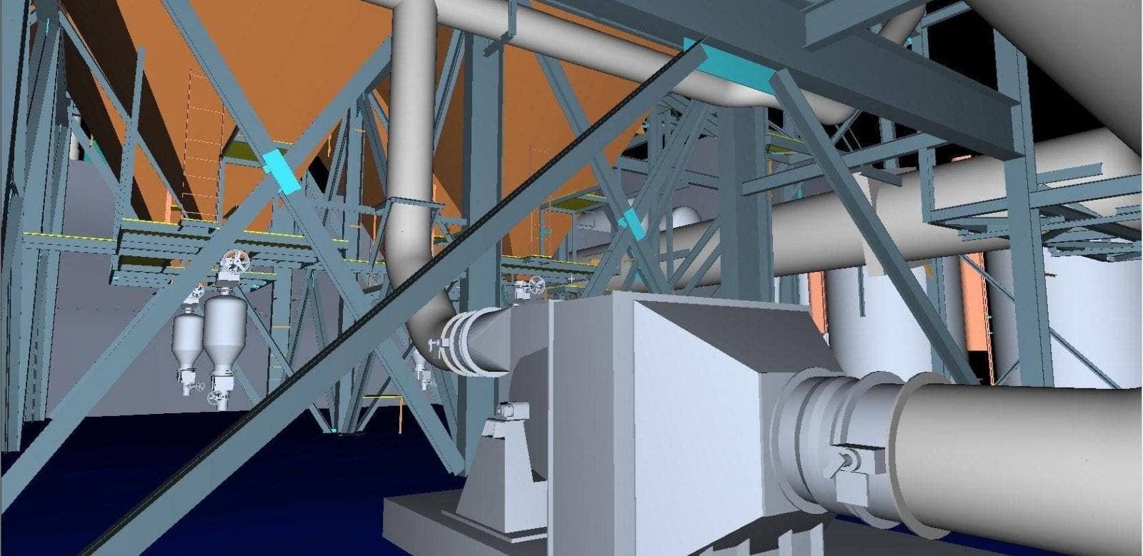
Southern California
3D laser scanning, drone LiDAR and surveying for Southern California projects: buildings, plants, solar sites and infrastructure.
Explore →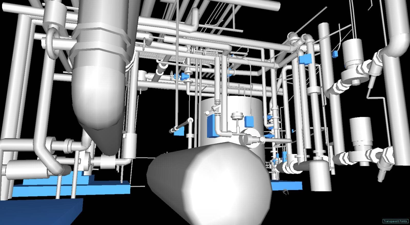
Tucson
Tucson land surveying, drone mapping and 3D laser scanning from Darling Geomatics, headquartered on S Rita Rd in southeast Tucson, Arizona.
Explore →Darling Geomatics is based in Tucson, Arizona, and its surveying service areas cover Arizona, Southern California, Nevada, New Mexico and Colorado. Our teams mobilize quickly across the Southwest and take on 3D scanning and survey projects nationwide and internationally.
Our Registered Land Surveyors are licensed in seven states. Drone, LiDAR and 3D scanning work travels anywhere; licensed boundary work is done under the rules of the state where the land is.
Where we work
- Tucson and Southern Arizona
- Phoenix and Central Arizona
- New Mexico
- Nevada
- Southern California
- Colorado
- Projects nationwide and international
How we serve projects outside Tucson
Drone LiDAR, photogrammetry and 3D laser scanning travel well: a small crew can capture a large site or a whole facility in a short visit, and the processing and drafting happen in our Tucson office. That lets us serve projects across our surveying service areas with the same team and the same standards, and deliver data in the formats local design teams use.
For licensed survey work such as boundary, ALTA/NSPS and other recorded surveys, the surveyor in responsible charge must be licensed in the state where the land is. Tell us where your project is and we will confirm how we will staff it.
Plan your next capture.
Tell us about the site and the deliverables you need. Our team will recommend the right mix of drone, terrestrial and mobile capture.