
Service Areas
Surveying and 3D Scanning in New Mexico
New Mexico surveying, drone LiDAR and 3D laser scanning for energy, mining, utility and development projects, from Darling Geomatics.
New Mexico is part of Darling Geomatics' core service area. We provide drone LiDAR, 3D laser scanning, topographic surveys and mine surveys for energy, mining, utility, public and development projects across New Mexico.
Our ties to New Mexico run deep: our President and CEO, Amanda Manos, PLS, earned her surveying engineering degree at New Mexico State University and served as president of the New Mexico Professional Surveyors in 2014.
New Mexico surveying services
- Drone LiDAR and topographic mapping
- Mine surveying and claim staking
- 3D laser scanning of plants and facilities
- Utility construction and right of way surveys
- Environmental surveying
Deliverables
- Topographic surveys, contours and surfaces
- Point clouds and 3D models
- CAD drawings and reports
New Mexico projects
New Mexico's energy, mining and utility projects often cover large, remote areas, where drone LiDAR and photogrammetry save the most field time. We capture corridors, well pads, plant sites and mine areas by drone, scan facilities and processing plants with terrestrial laser scanners, and deliver topography, surfaces and CAD drawings ready for design.
Environmental surveying, permitting support and right of way work round out our New Mexico services. As with all our service areas, licensed boundary work is staffed under New Mexico's surveying rules; tell us about your project and we will confirm how it will be handled. Our office in Tucson is a short drive from southern New Mexico.
Typical New Mexico deliverables include drone topography and contours for design, point clouds and BIM models of facilities, digital terrain models for drainage and earthwork, and CAD drawings for permits and construction. Call (520) 298-2725 or request a proposal to discuss your New Mexico project and its schedule.
Do you work across New Mexico?
Yes, from Las Cruces and southern New Mexico to sites statewide, with crews mobilizing from our Tucson office.
Can you scan facilities in New Mexico?
Yes. We laser scan plants, processing facilities and buildings and deliver point clouds, BIM models and CAD drawings.
More service areas
Arizona
Arizona surveying from Darling Geomatics in Tucson: ALTA, topographic and mine surveys, drone LiDAR and 3D laser scanning statewide.
Explore →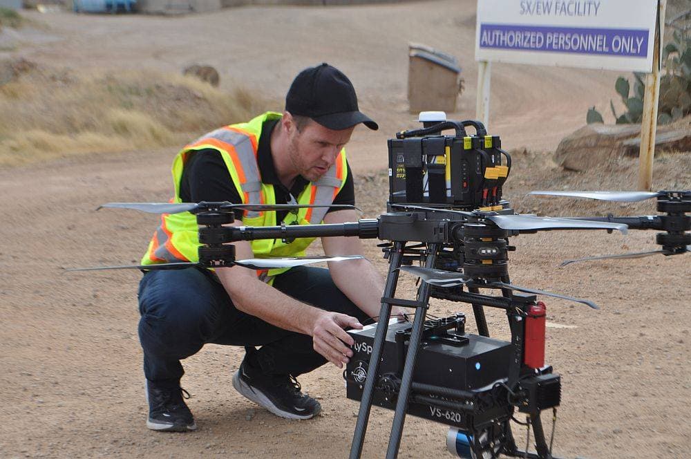
Colorado
Colorado surveying, drone LiDAR and 3D scanning for mining, utility, energy and construction projects across the state.
Explore →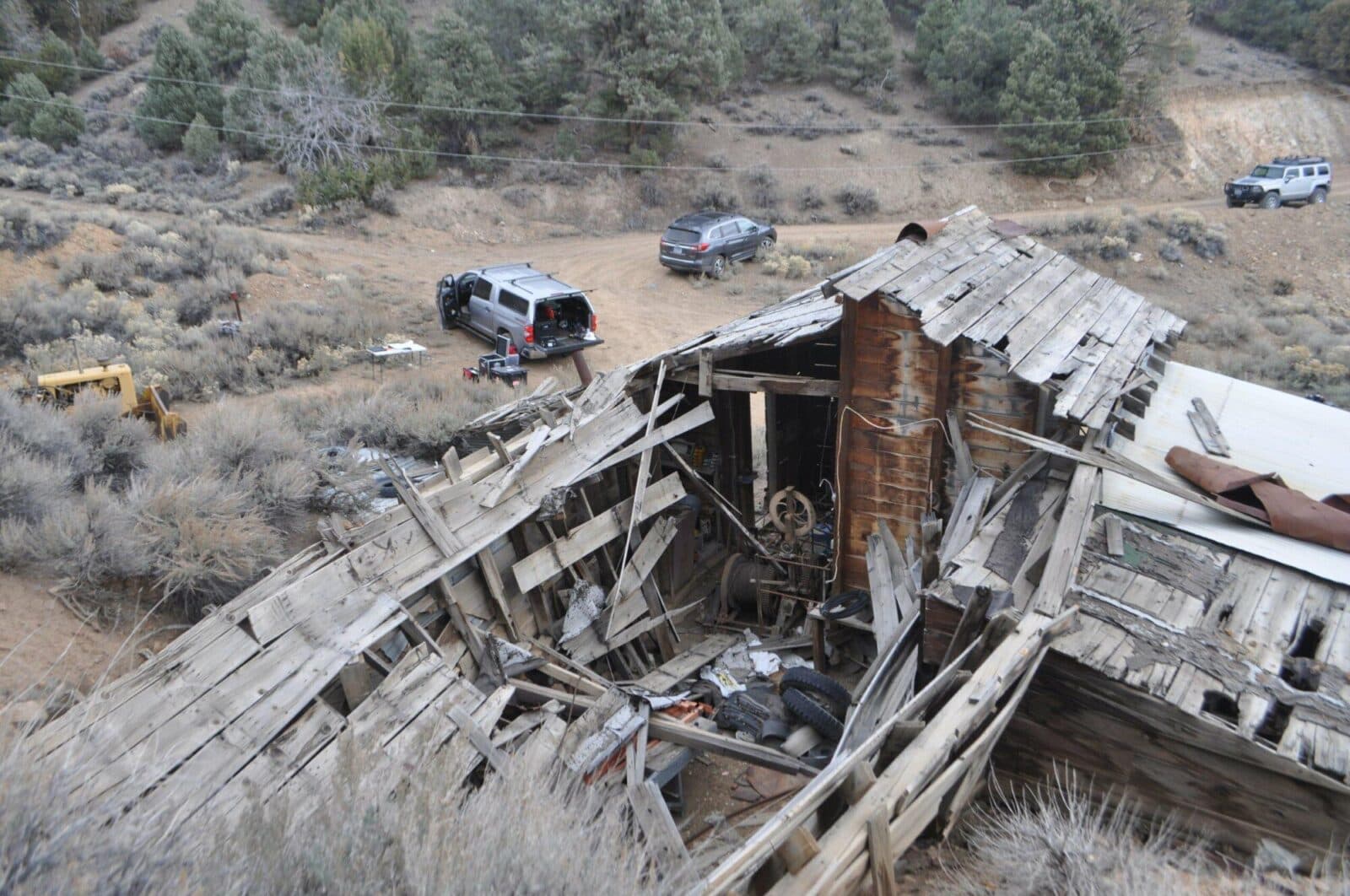
Nevada
Nevada surveying and mine mapping with drones and LiDAR: underground mine scanning, stockpile volumes, topography and 3D laser scanning.
Explore →Plan your next capture.
Tell us about the site and the deliverables you need. Our team will recommend the right mix of drone, terrestrial and mobile capture.