
Deliverables
Contour Maps for Design and Grading
Contour maps drawn from LiDAR, photogrammetry and ground survey: accurate elevation lines at your interval, delivered in CAD for design and grading.
A contour map shows the shape of the ground with lines that join points of equal elevation. Close lines mean steep ground, wide spacing means gentle slopes, and the pattern shows ridges, valleys and drainage at a glance. Contour maps remain one of the most used survey deliverables for site design and grading.
Darling Geomatics generates contours from a classified ground surface, built from drone LiDAR, photogrammetry or ground survey, and checks them against surveyed points. Vegetation, vehicles and buildings are removed first so the contour map shows the bare earth.
What you receive
- Contours at the interval you specify, with index contours labeled
- Spot elevations and breaklines at key features
- CAD layers (DWG, DXF) ready for your drawings
- The surface the contours came from, for your design software
Where contour maps are used
- Grading and drainage design
- Solar, wind and land development layout
- Mine planning and reclamation
- Permits and feasibility studies
What contour interval should I ask for?
It depends on the terrain and the design. Flat sites and drainage design need tight intervals; large or steep sites often use wider ones. We will suggest an interval that fits the purpose.
Contours you can design from
Contours are only as good as the surface beneath them. We build that surface from classified ground points and breaklines at curbs, channels and ridges, so contours bend where the ground really changes instead of being smoothed across it. Index contours are labeled, and spot elevations are added at high and low points, tops and toes of slopes and other places designers check first.
Contour maps are delivered as CAD linework on layers that match your standard, together with the surface they came from, so your team can re-contour at another interval or run profiles and sections without asking for a new survey. We can also produce contours from earlier surveys of the same site so changes can be compared.
More deliverables
3D Mesh Models
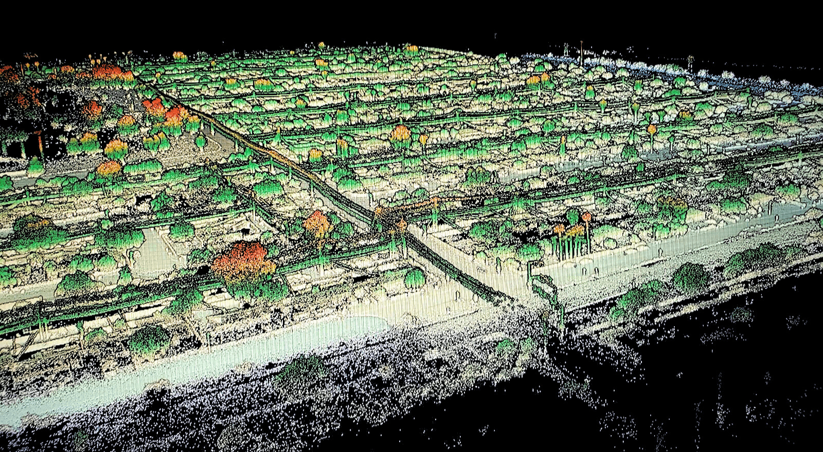
Photo-textured 3D mesh models from drone and laser scan data: realistic, measurable models of sites, buildings and structures to view and share.
Explore →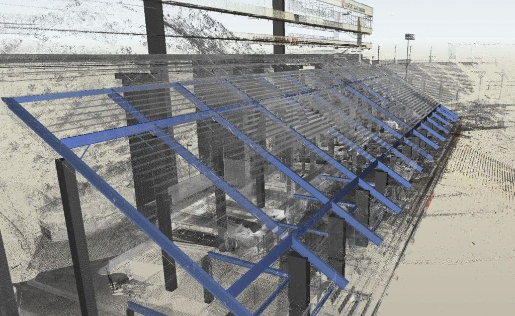
CAD Drawings
Survey CAD drawings and base maps in DWG and DXF: topography, features, utilities and as-built conditions, drawn to your layer standard.
Explore →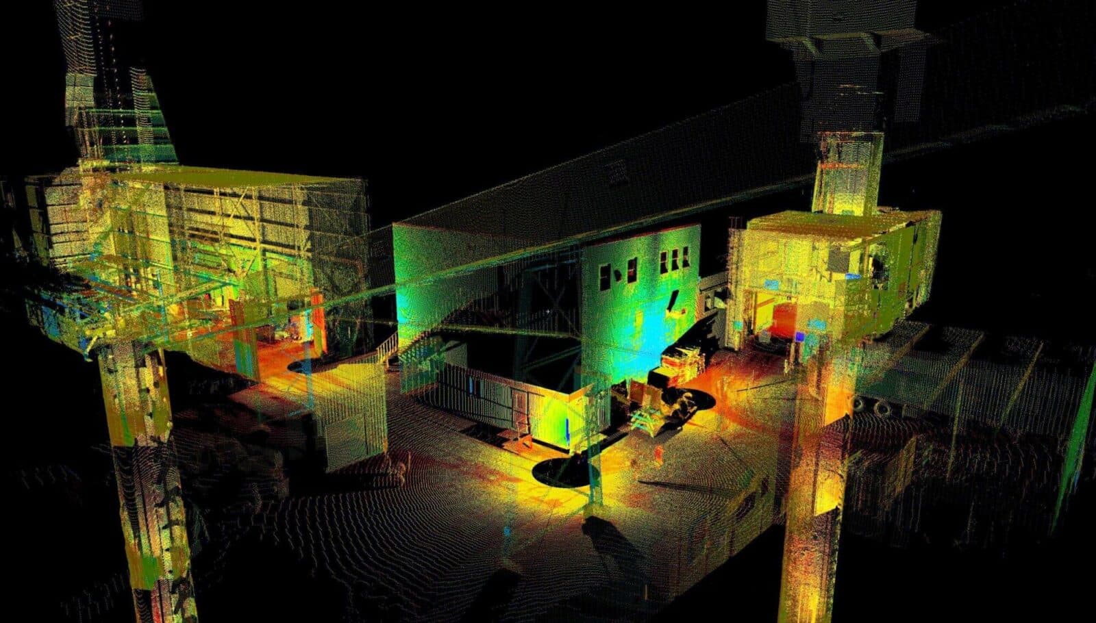
Deformation Monitoring
Deformation monitoring with repeat laser scans and precise survey: measured settlement, movement and change of structures, slopes and tanks.
Explore →Plan your next capture.
Tell us about the site and the deliverables you need. Our team will recommend the right mix of drone, terrestrial and mobile capture.