
Service Areas
Surveying, Mine Mapping and 3D Scanning in Nevada
Nevada surveying and mine mapping with drones and LiDAR: underground mine scanning, stockpile volumes, topography and 3D laser scanning.
Nevada is one of Darling Geomatics' service areas, and its mining industry is a natural fit for our work. We provide mine mapping, underground mine scanning with drones and LiDAR, stockpile volume surveys and topographic surveys across Nevada.
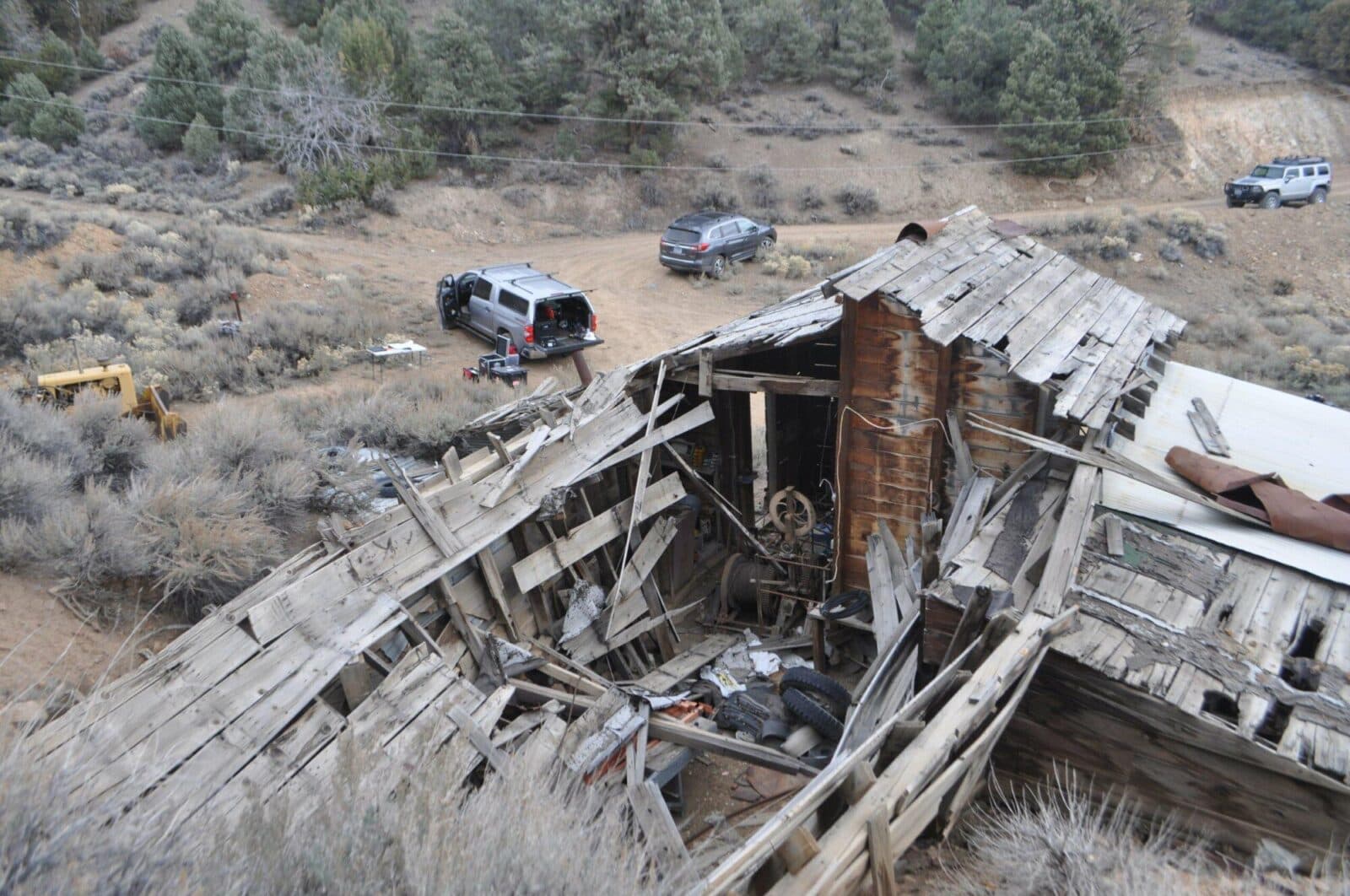
For gold mining operations we have mapped inactive underground workings with drones and LiDAR, producing 3D models that help plan a safe return to operation, the kind of work Nevada mines rely on.
Nevada surveying services
- Underground mine scanning and mine site mapping
- Stockpile volume surveys
- Drone topography for mines and development
- 3D laser scanning of plants and facilities
- Construction verification
Deliverables
- Point clouds and 3D mesh models of mine workings
- Digital terrain models and contours
- Volume reports and CAD drawings
Mining and more in Nevada
Nevada's gold, silver and lithium operations depend on accurate, current survey data: pit and stockpile surfaces for production, underground surveys for safety and planning, and claim staking for exploration. Darling Geomatics combines drone LiDAR, caged drones that fly inside underground workings and terrestrial laser scanning to map mine sites from the surface to underground.
Through MineSight, aerial, terrestrial and survey-grade data from a Nevada mine site come together in one consistent dataset, so engineers can make stockpile, grading and planning decisions sooner. Beyond mining, we provide topography and 3D scanning for development, industrial and infrastructure projects in Nevada.
Typical Nevada deliverables include stockpile volume reports, pit and haul road surfaces, point clouds and 3D models of underground workings and plants, and CAD drawings for engineering and permits. Call (520) 298-2725 or request a proposal to discuss your Nevada mine or project.
Can you scan underground workings in Nevada mines?
Yes. Caged drones carry LiDAR into adits, stopes and tunnels that are unsafe to enter, producing 3D models of the workings.
Do you survey stockpiles in Nevada?
Yes. Drone stockpile volume surveys cover whole yards in one flight, with consistent base surfaces each month.
More service areas
Arizona
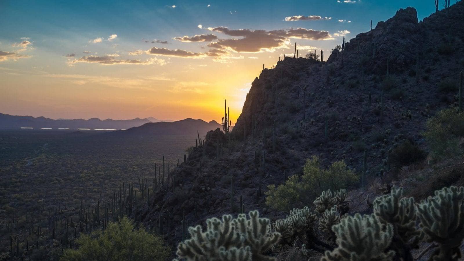
Arizona surveying from Darling Geomatics in Tucson: ALTA, topographic and mine surveys, drone LiDAR and 3D laser scanning statewide.
Explore →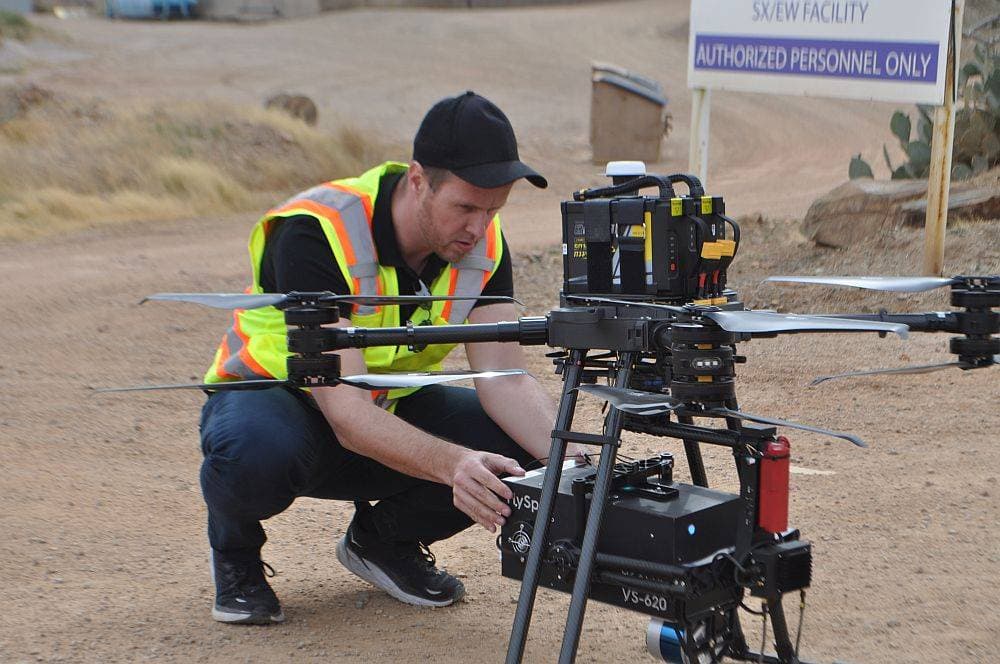
Colorado
Colorado surveying, drone LiDAR and 3D scanning for mining, utility, energy and construction projects across the state.
Explore →New Mexico
New Mexico surveying, drone LiDAR and 3D laser scanning for energy, mining, utility and development projects, from Darling Geomatics.
Explore →Plan your next capture.
Tell us about the site and the deliverables you need. Our team will recommend the right mix of drone, terrestrial and mobile capture.