
Service Areas
3D Scanning and Surveying in Southern California
3D laser scanning, drone LiDAR and surveying for Southern California projects: buildings, plants, solar sites and infrastructure.
Southern California is part of Darling Geomatics' service area. We provide 3D laser scanning, drone LiDAR and survey data for Southern California buildings, industrial plants, solar and power sites, and infrastructure.
Southern California teams use our scan data for renovation design, clash detection, scan to BIM and construction verification, and our drone surveys for large solar and development sites.
Southern California services
- 3D laser scanning and scan to BIM
- Renovation scanning and as-built documentation
- Drone LiDAR and topographic mapping
- Solar farm inspection and thermal imaging
- Construction verification
Deliverables
- Point clouds, BIM models and CAD drawings
- Orthomosaics and contour maps
- Thermal imaging reports
Existing conditions for Southern California projects
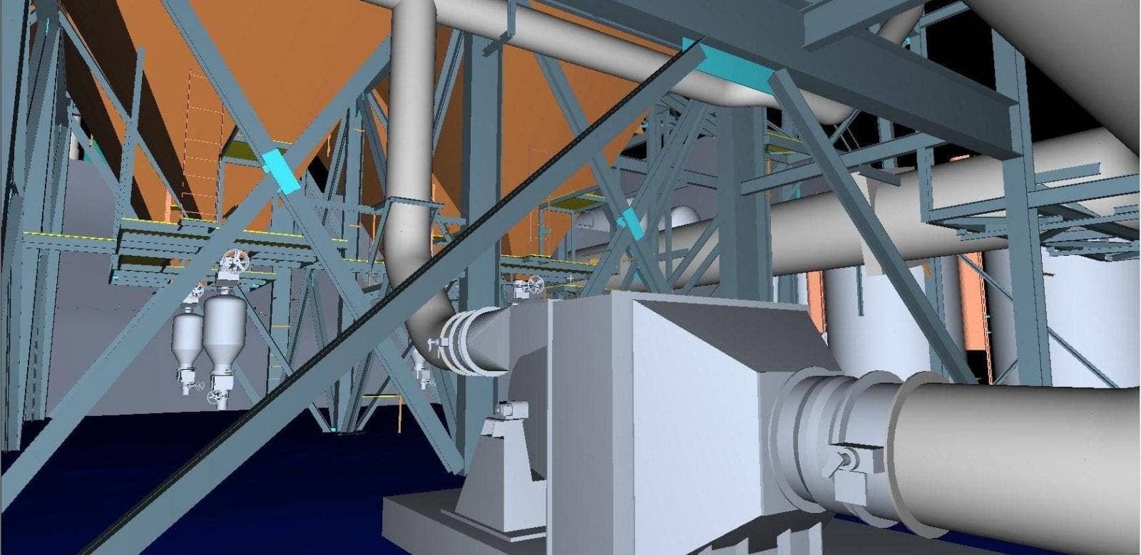
Renovation and expansion projects in Southern California often start from drawings that no longer match the building. Terrestrial laser scanning captures the existing conditions accurately in a single visit, and scan to BIM turns the point cloud into a model the design team can work from. Clash detection against the scanned conditions catches conflicts before construction.
For solar and power sites we provide drone topography, construction verification and thermal inspection that finds faulty panels and strings. Data is delivered in your project coordinates and standard formats, so it fits straight into the tools your Southern California team already uses.
Darling Geomatics serves Southern California from our Tucson office, mobilizing crews for site visits and processing the data in-house so deliverables arrive quickly after capture. Typical deliverables include registered point clouds, BIM models at your level of detail, CAD drawings, orthomosaics and thermal inspection reports. Call (520) 298-2725 or request a proposal to plan your project.
Do you travel to Southern California for scanning?
Yes. Crews mobilize from our Tucson office for laser scanning and drone work across Southern California.
Can you deliver Revit models?
Yes. Scan to BIM models are delivered in Revit at the level of detail you specify, with the point cloud they came from.
More service areas
Arizona
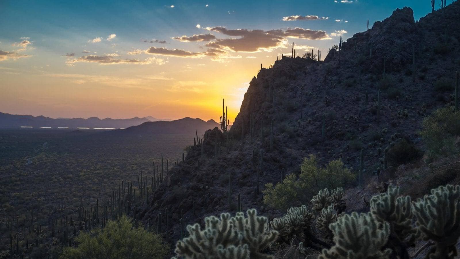
Arizona surveying from Darling Geomatics in Tucson: ALTA, topographic and mine surveys, drone LiDAR and 3D laser scanning statewide.
Explore →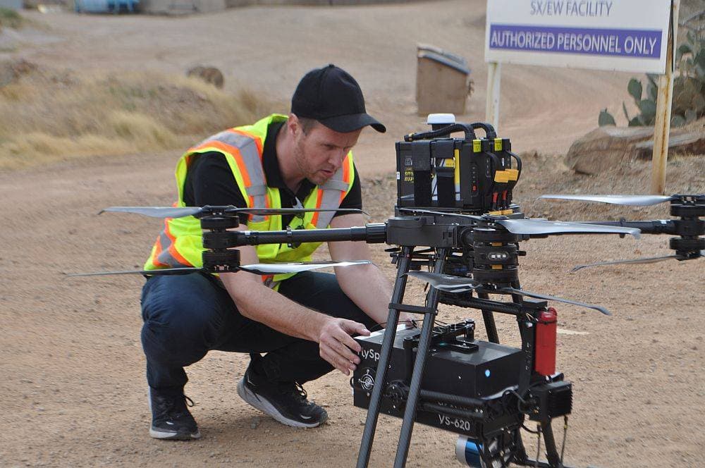
Colorado
Colorado surveying, drone LiDAR and 3D scanning for mining, utility, energy and construction projects across the state.
Explore →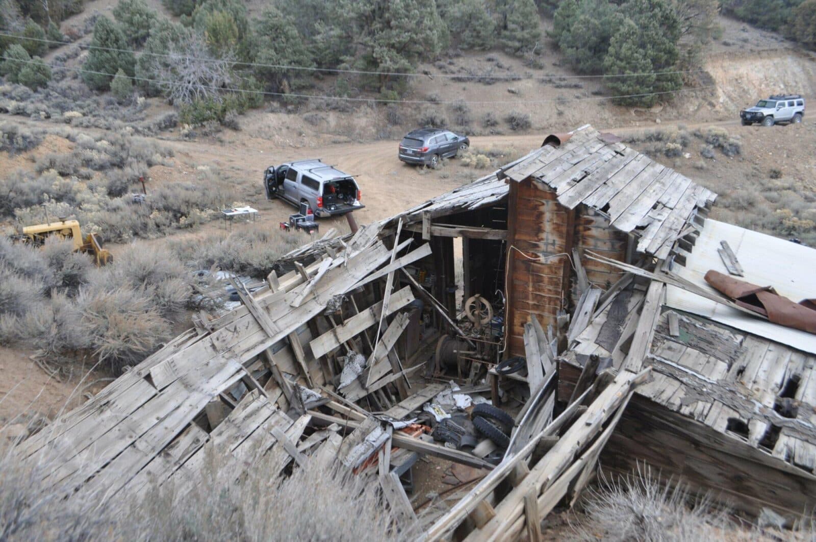
Nevada
Nevada surveying and mine mapping with drones and LiDAR: underground mine scanning, stockpile volumes, topography and 3D laser scanning.
Explore →Plan your next capture.
Tell us about the site and the deliverables you need. Our team will recommend the right mix of drone, terrestrial and mobile capture.